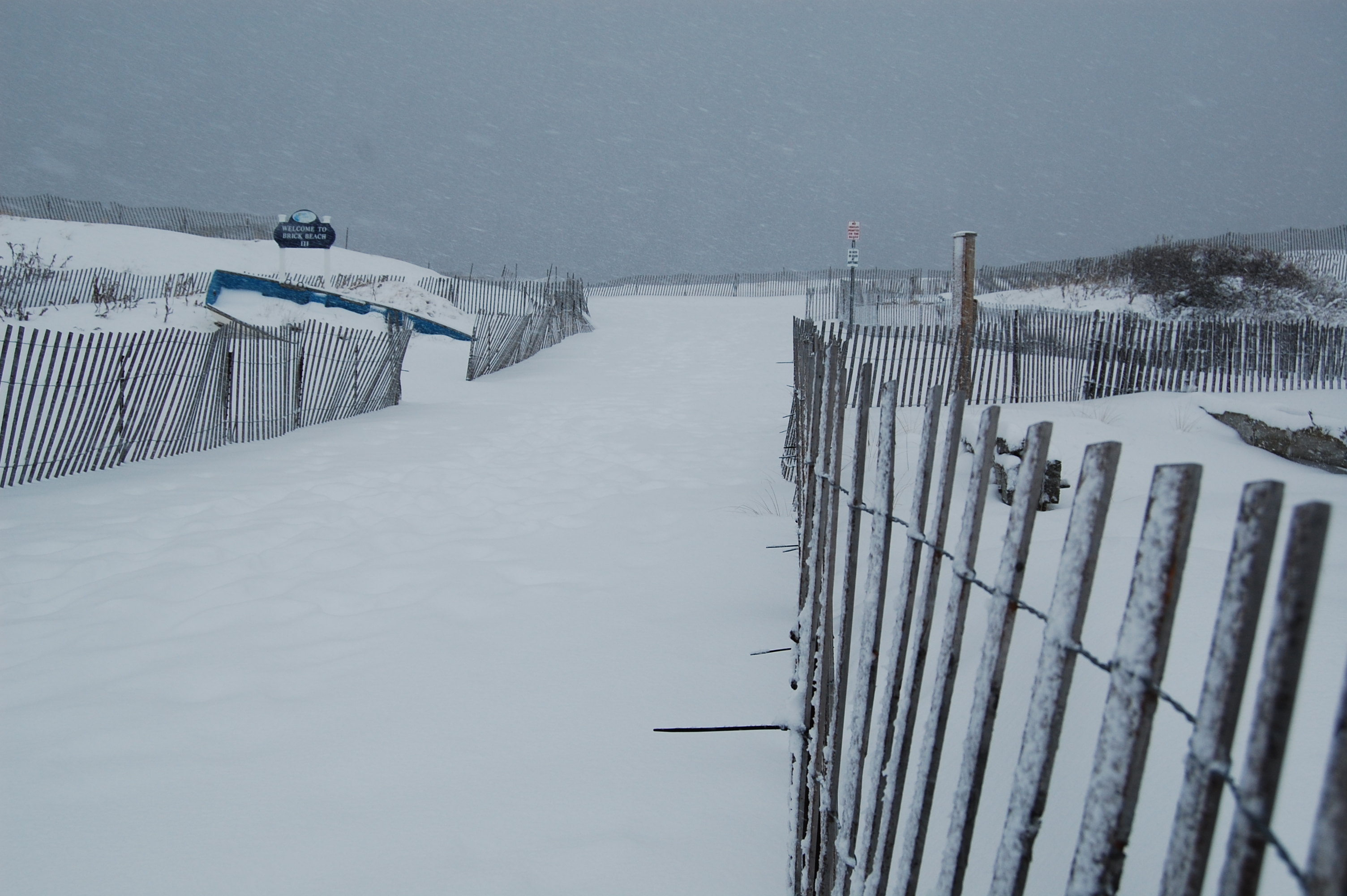
Brick Beach III during the March 5, 2015 snow storm. (Photo: Daniel Nee) Click to expand.
A day after 2023 was widely declared the least-snowiest year in recorded history in 2023 in almost every measuring point in New Jersey, the new year could bring an early coastal storm that is increasingly appearing as if it could bring significant impacts, including potential snowfall, but also serious conditions expected in strong nor’easters.
The National Weather Service, in its forecast discussion issued Tuesday morning, speaks of Canadian air dipping into the region beginning Friday, when highs are unlikely to break the 30s, and the overnight lows will dip into the low-to-mid 20s. Despite the blustery temperatures, however, the sun will remain the dominant feature.
Come Sunday, however, a coastal storm could bring major changes – likely with some combination of rain and snow for the Shore area, in particular.
“At the moment, deterministic guidance and ensembles show a signal for a system to move in somewhere in the Saturday Night/Sunday timeframe. An associated area of low pressure will strengthen as it moves through the southeast and up the Mid- Atlantic coast.” the discussion said. “The exact track of this surface low will determine what specific impacts there will be.”
While forecast models are still disagreeing on the exact track of the storm – and models tend to be less reliable the longer it is from the day of arrival – a “consensus” between the models suggests “a low track that hugs closer to the coastline, increasing the chances for a ‘warmer’ solution.”
Translated into less technical terms, this means North Jersey – especially areas north of the I-78 corridor – will likely see the possibility of significant snowfall, while the Shore area’s fate remains highly uncertain. A movement of the storm slightly east or westward will determine whether the coastal storm is mostly a rain event or snow event, though forecasters generally agree that there will be at least some snow along with the system, especially on the back end.
Notwithstanding the type of precipitation, the storm will come with other risks as well for the coastal areas.
“Bottom line, this system bears watching and is setting up to bring heavy precipitation, gusty winds, and potential coastal flooding, though, with strong onshore flow,” the discussion said.
A Cold And Active Weather Pattern For Much Of January **PREMIUM**
My thoughts on what to expect throughout January.https://t.co/WJMgNMrDVH pic.twitter.com/G4mkVj4Crf
— NY NJ PA Weather (@nynjpaweather) January 2, 2024
Steven DiMartino, who runs a premium weather forecasting firm and the NY-NJ-PA weather page on X, said on the platform that he is seeing the “potential major winter storm for next weekend,” but models shouldn’t be relied-upon for pinpoint snowfall data until about 120 hours before the storm is expected to arrive.
According to the latest forecast from the NWS, the storm, no matter what it brings, is due to exit during the day Sunday and give way to a blustery night with a low of just 27 degrees. The sun will return Monday, the agency said, with a high of 42, however there is already talk of another – granted, much weaker – storm system moving into the region a day or two later.


Seaside Heights & Seaside Park
Seaside Heights School Board Seeking More Participation, Will Change Meeting Times

Police, Fire & Courts
Seaside Park Man, 68, Charged in Fatal Crash With Pedestrian

Ortley Beach & North Beaches
Lottery Ticket Worth $10K Sold at Ortley Beach Acme


Ortley Beach & North Beaches
Abandoned Private Island ‘Mansion’ in Barnegat Bay Poised for Demolition

