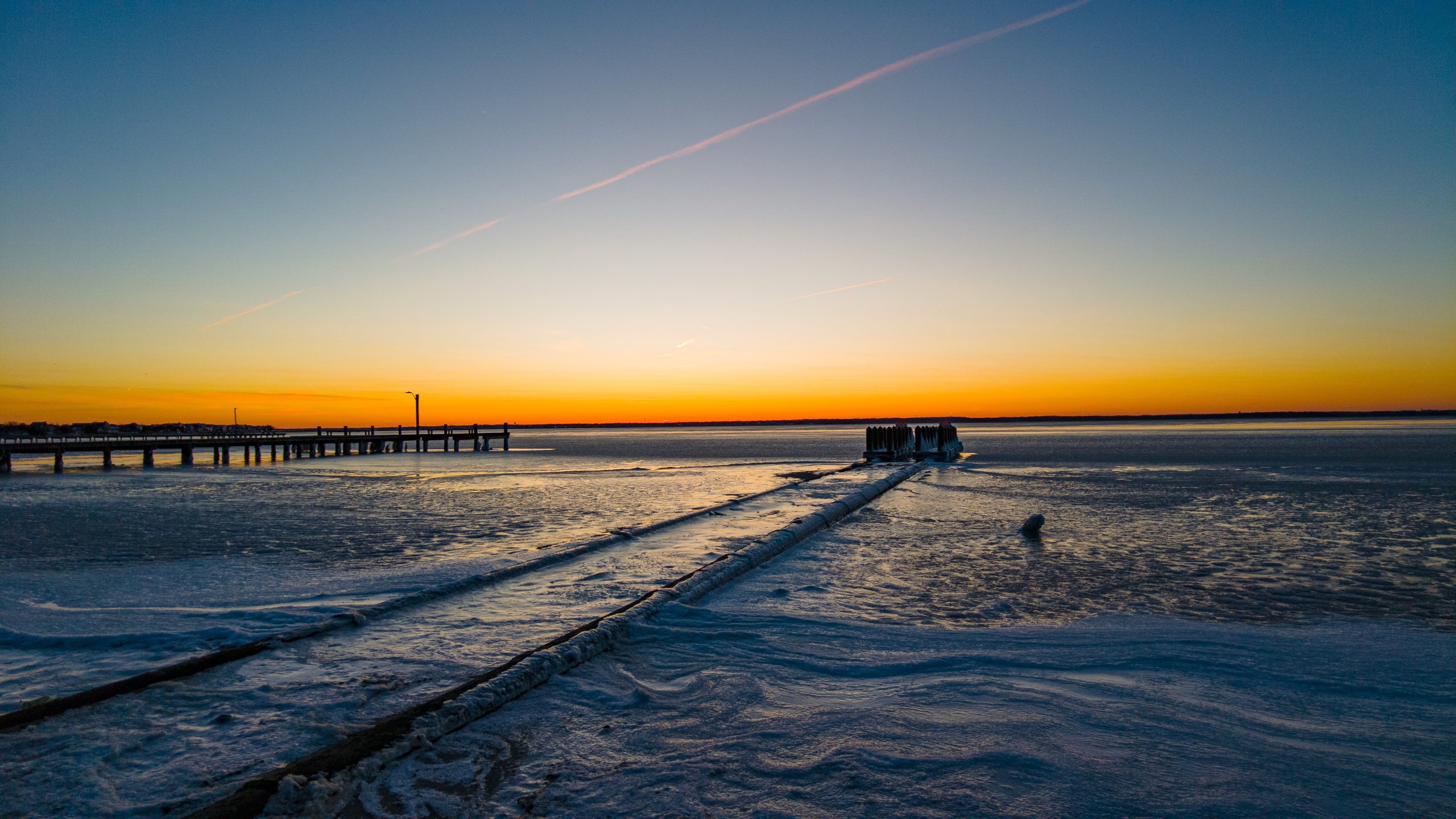
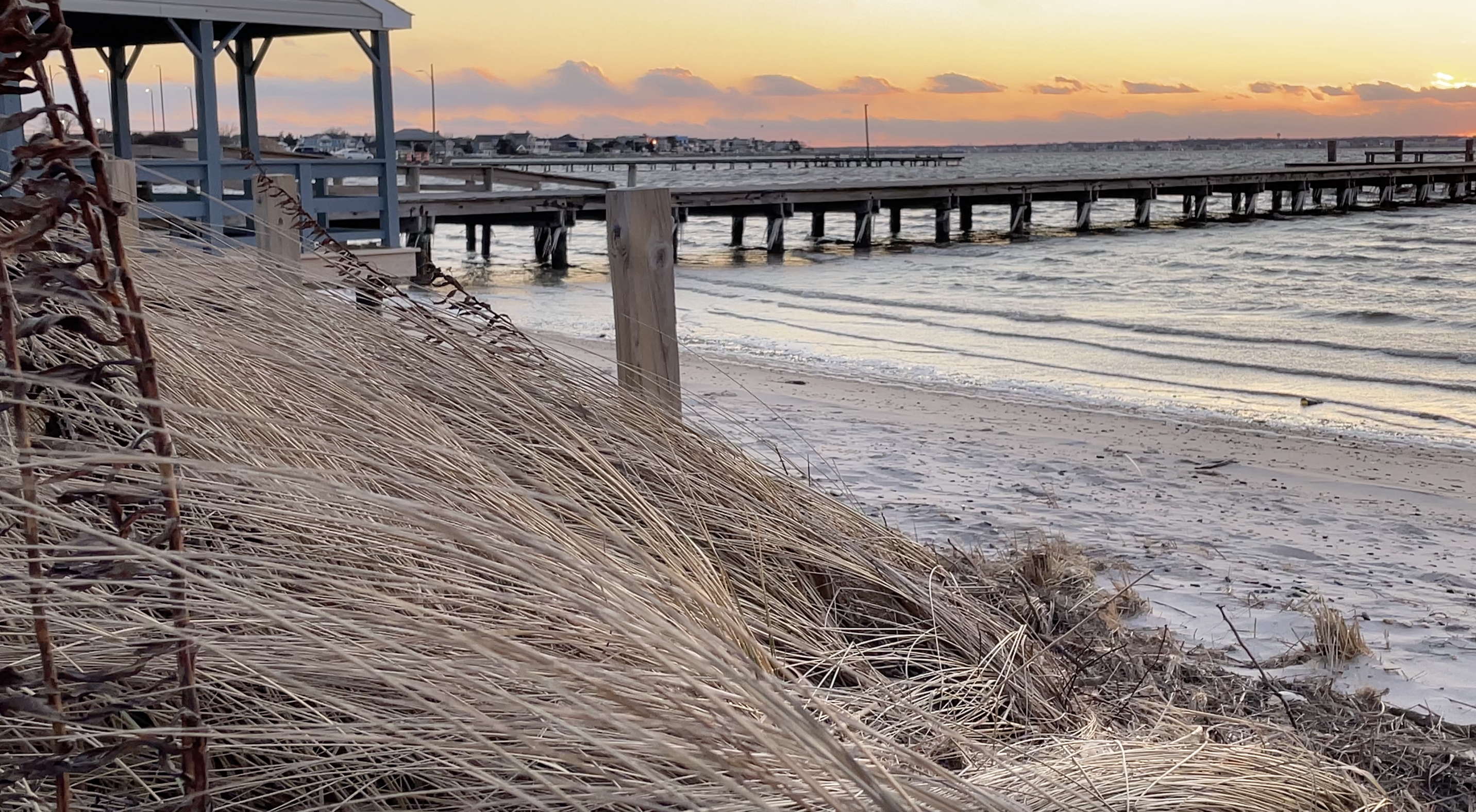
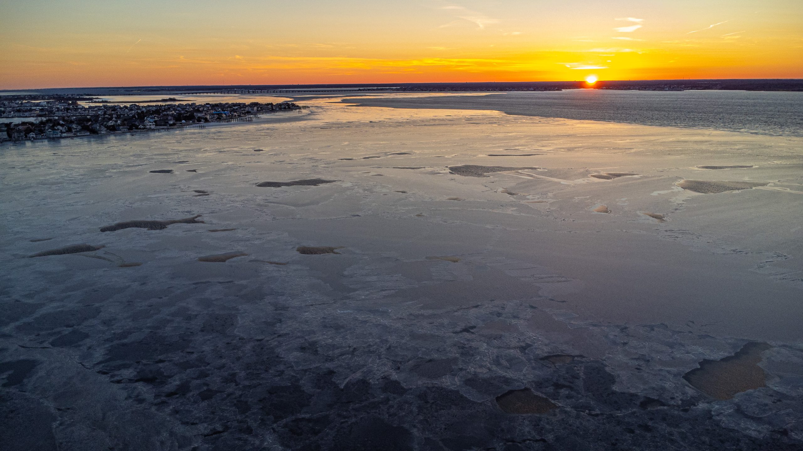
Amidst two nights in a row that saw the mercury dive down to the teens, Barnegat Bay developed a layer of ice that has been rarely seen in recent times. We were lucky enough to catch some views of this, and a two-minute video is embedded above. A few stills appear below.
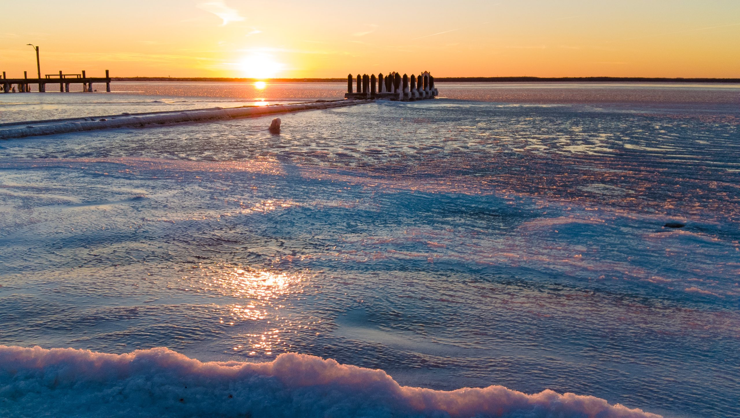
A frozen Barnegat Bay, Feb. 5, 2023. (Photo: Daniel Nee)
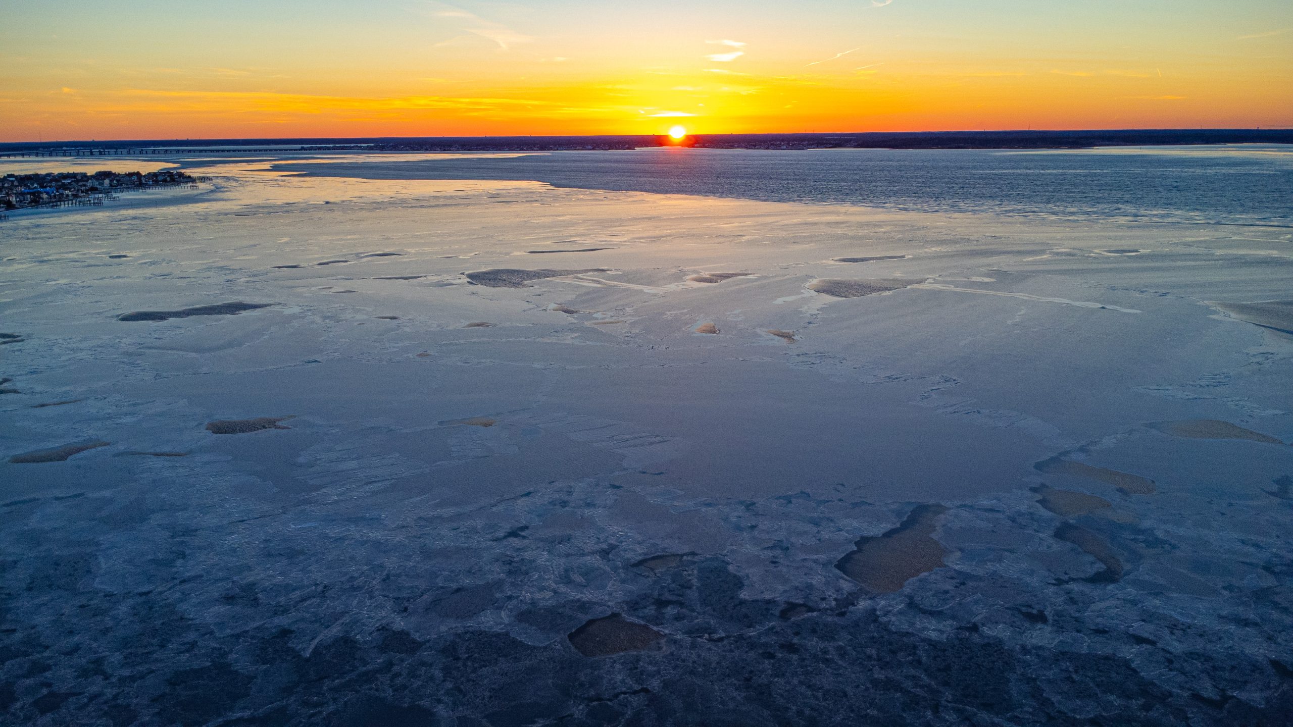
A frozen Barnegat Bay, Feb. 5, 2023. (Photo: Daniel Nee)

A frozen Barnegat Bay, Feb. 5, 2023. (Photo: Daniel Nee)
A frozen Barnegat Bay, Feb. 5, 2023. (Photo: Daniel Nee)
A frozen Barnegat Bay, Feb. 5, 2023. (Photo: Daniel Nee)
A frozen Barnegat Bay, Feb. 5, 2023. (Photo: Daniel Nee)
The National Weather Service is forecasting that the frigid temperatures are on their way out of the region. Sunday will see a high of a “balmy” 46 degrees following a low of 19 degrees the night before. After a partly sunny day, there will be a slight chance of showers between 8 p.m. and 3 a.m. Sunday night and Monday morning. The overnight low will be 36 degrees.
Things remain squarely above freezing at 48 degrees Monday, under sunny skies, according to the NWS forecast. Clear, sunny skies with temperatures in the high 40s are forecast through Wednesday of this coming week.


Seaside Heights & Seaside Park
Seaside Heights School Board Seeking More Participation, Will Change Meeting Times

Police, Fire & Courts
Seaside Park Man, 68, Charged in Fatal Crash With Pedestrian

Ortley Beach & North Beaches
Lottery Ticket Worth $10K Sold at Ortley Beach Acme


Ortley Beach & North Beaches
Abandoned Private Island ‘Mansion’ in Barnegat Bay Poised for Demolition

