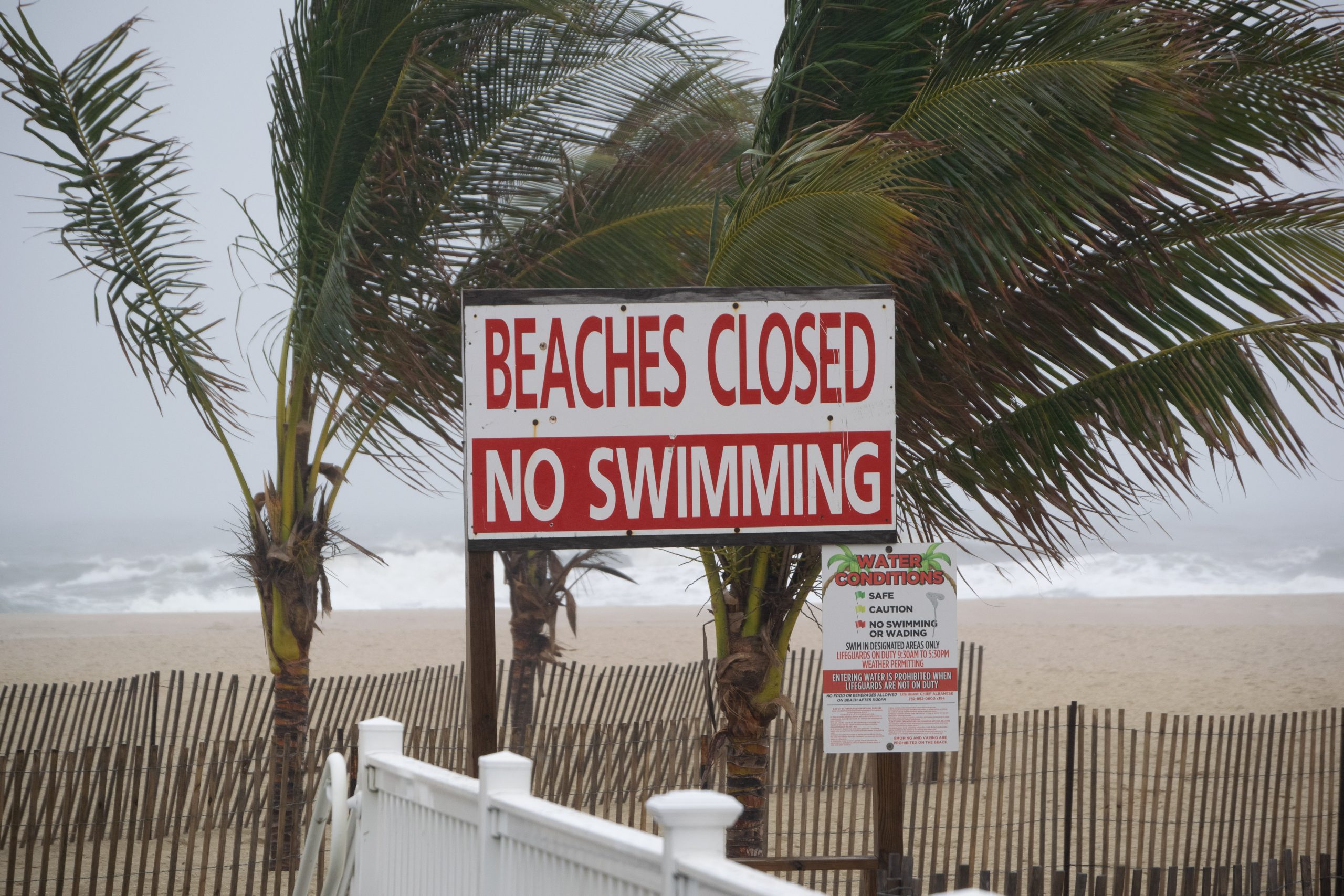
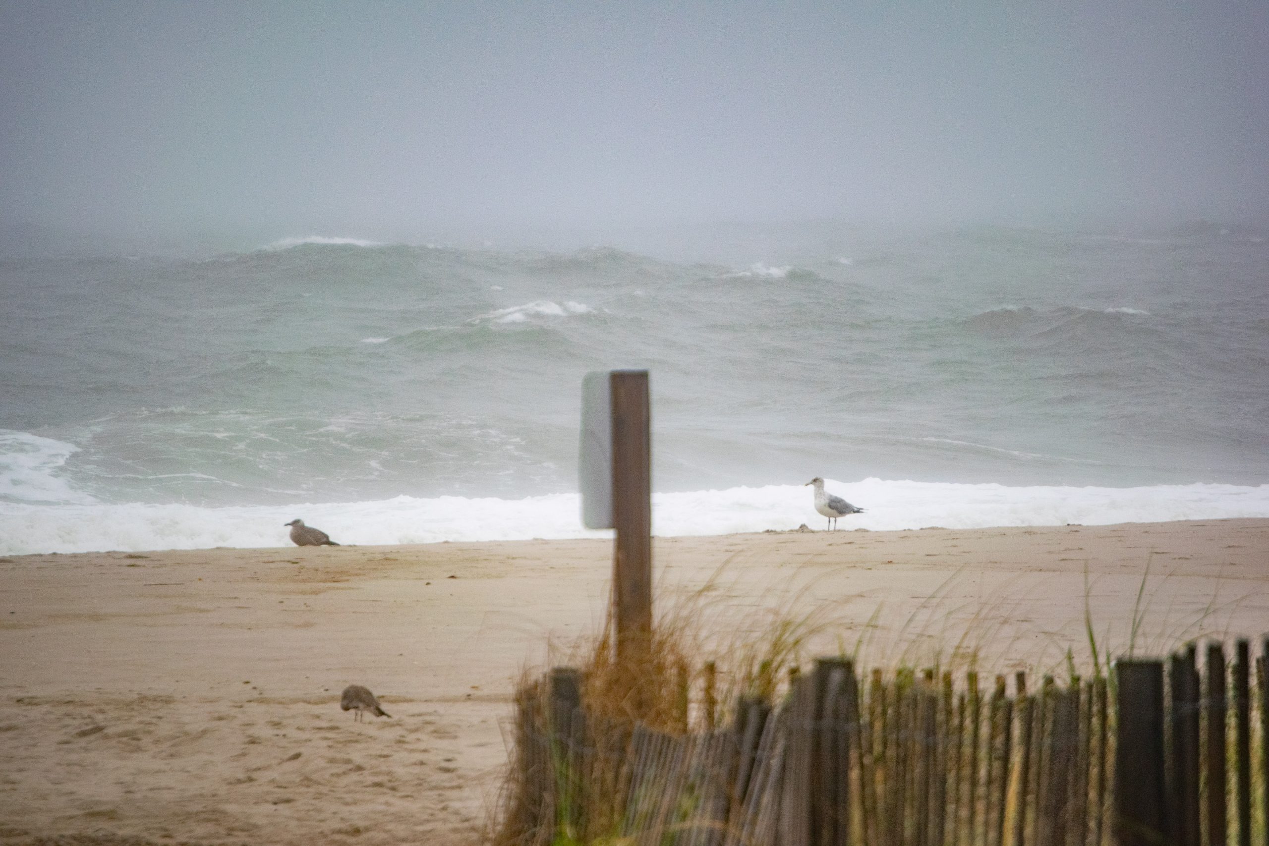
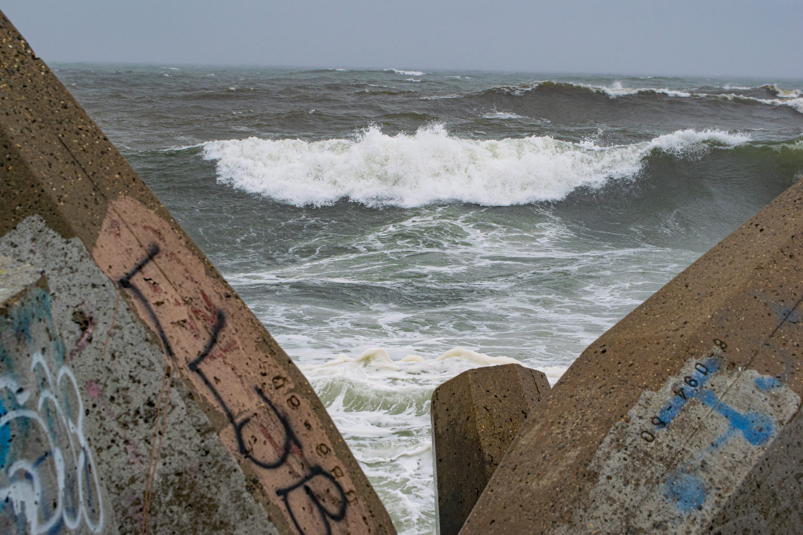
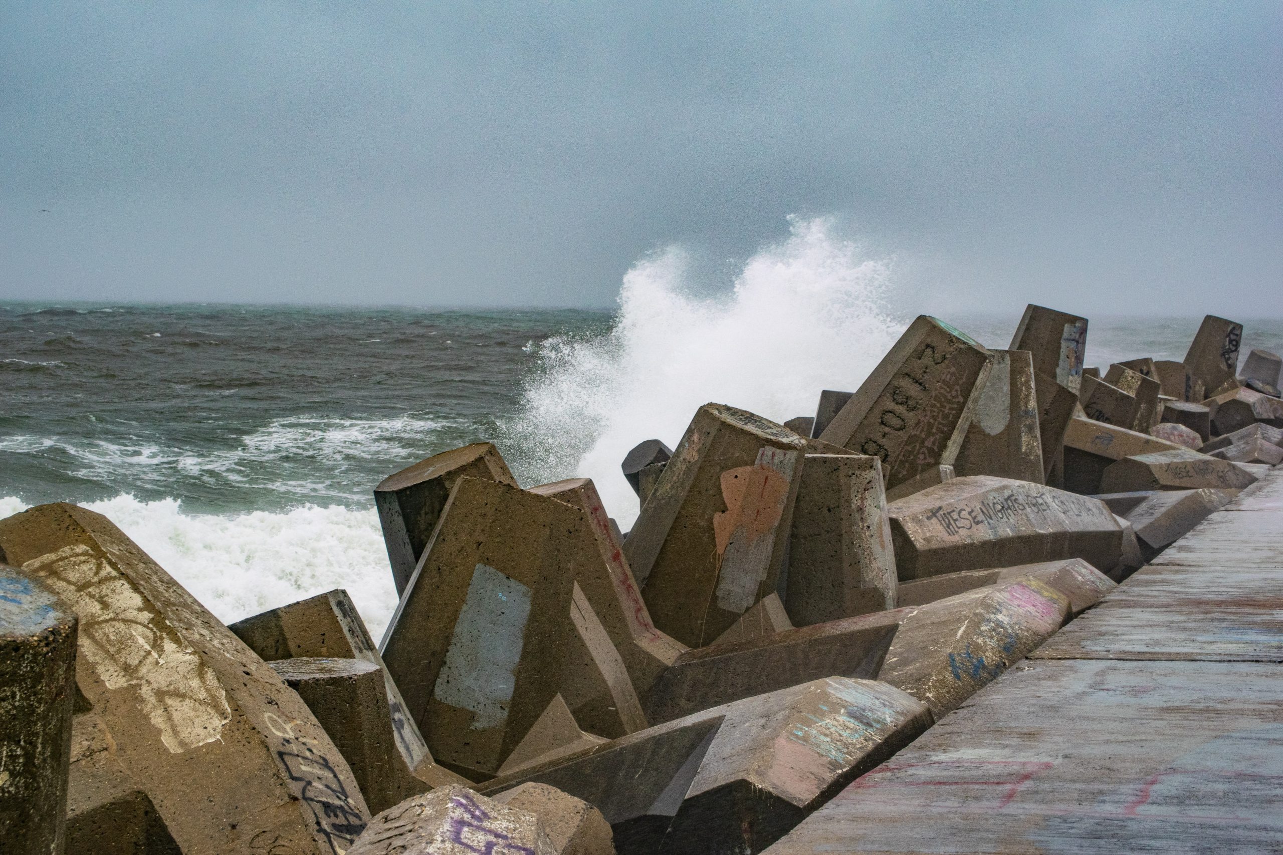
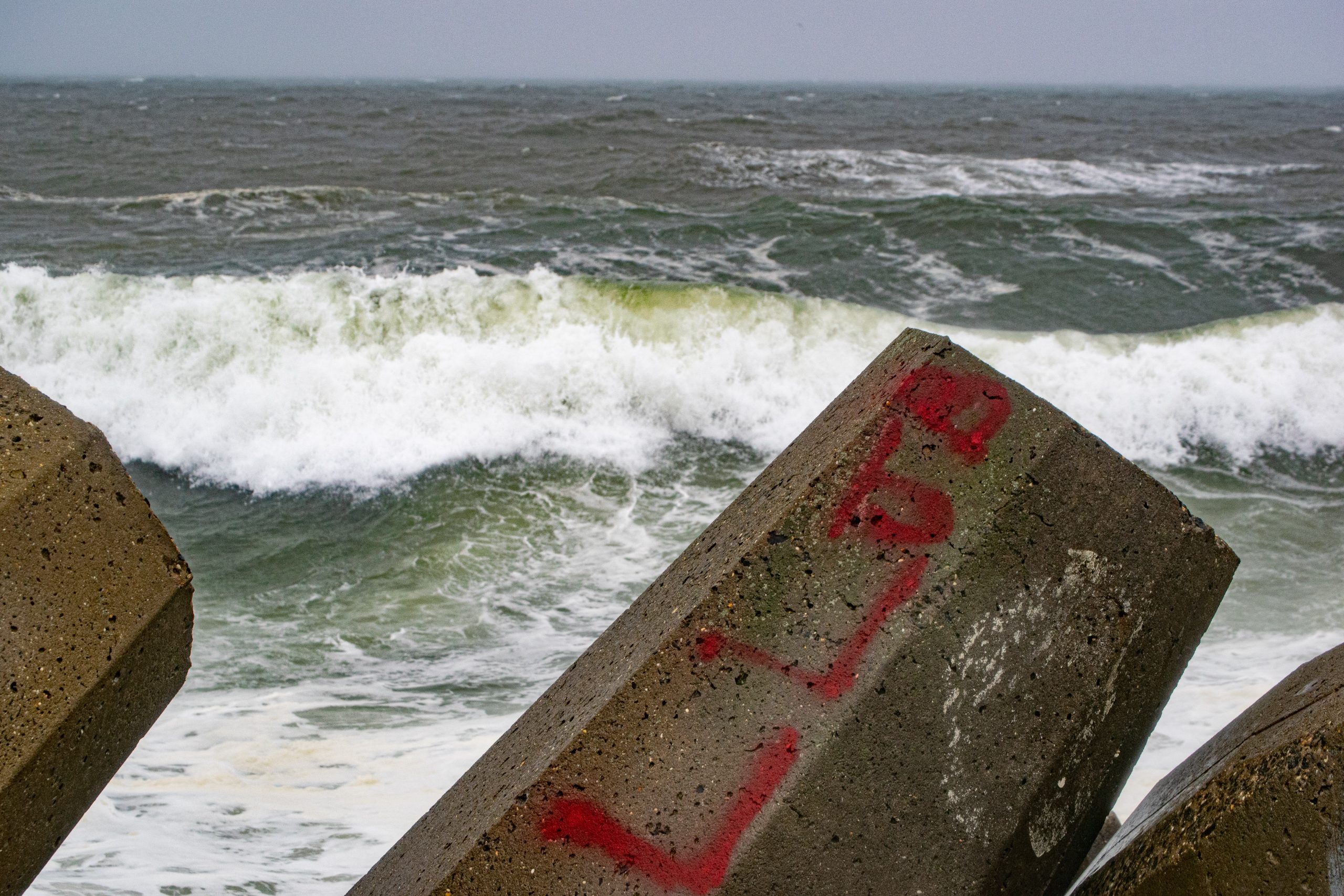
The remnants of once-Hurricane Ian continued to roll through the Jersey Shore region on Saturday, kicking up winds of about 40 m.p.h. and heavy surf, with waves in the 8-12 foot range, according to the National Weather Service.
According to forecasters, winds and seas will both become heavier Sunday.
“While winds are currently in the Small Craft Advisory range, gales are expected to develop everywhere by day break,” the NWS said in a statement Saturday night. “At this point, the gale warning continues through Monday. Seas will steadily build across the area due to the long on shore fetch, eventually reaching 10-14 feet across the open waters.”
Heavy surf generated by the remnants of Hurricane Ian, Oct. 1, 2022. (Photo: Daniel Nee)

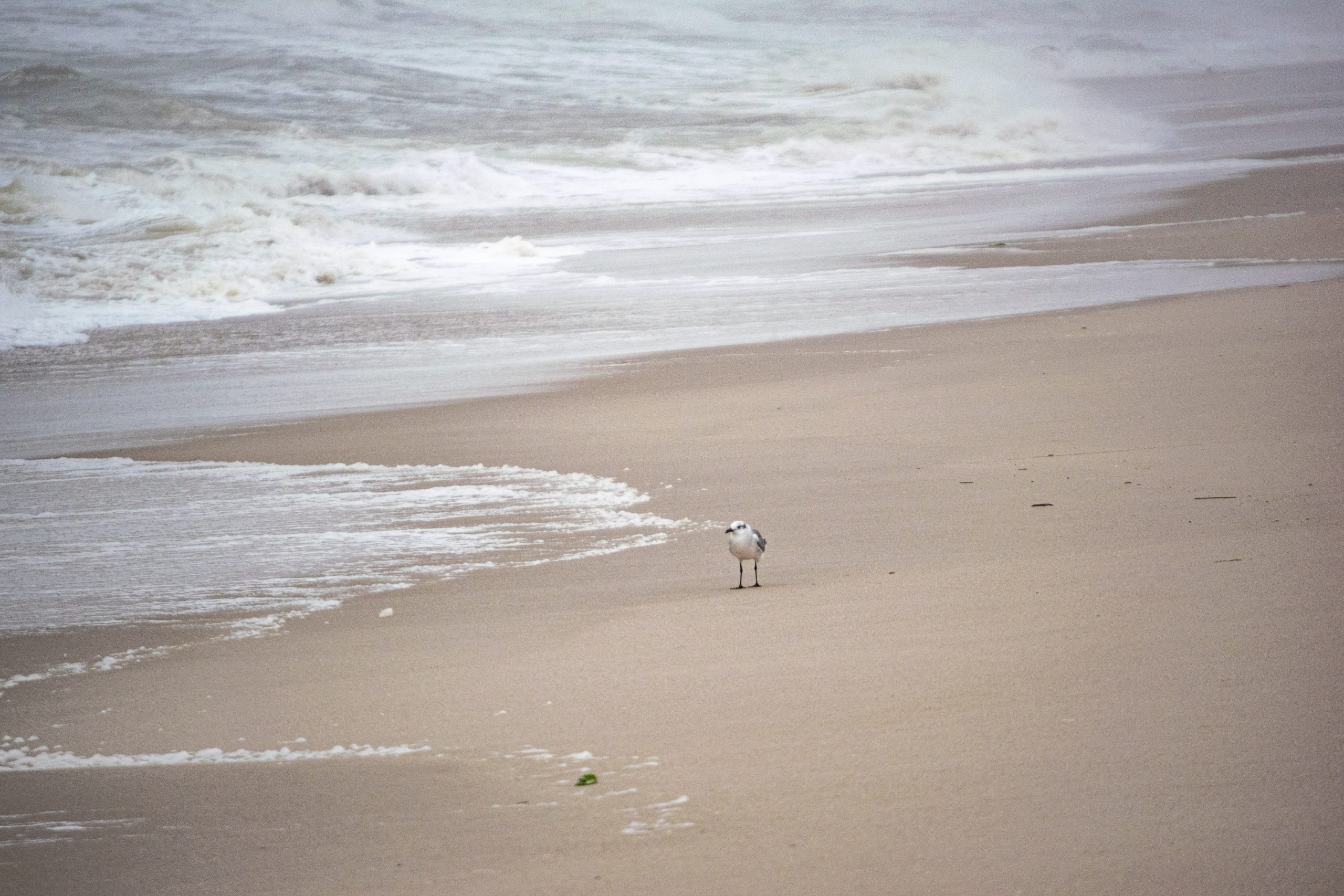
Heavy surf generated by the remnants of Hurricane Ian, Oct. 1, 2022. (Photo: Daniel Nee)
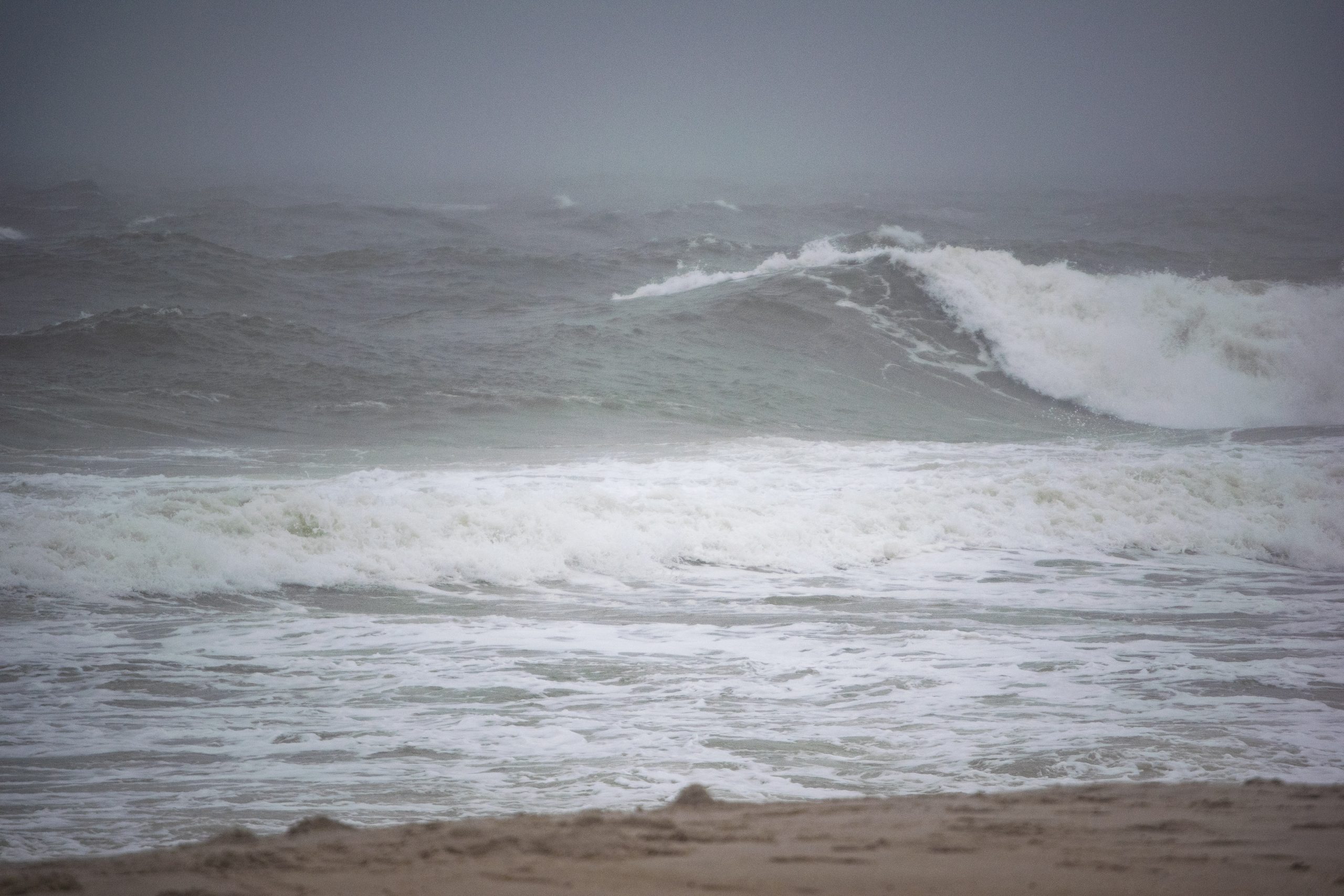
Heavy surf generated by the remnants of Hurricane Ian, Oct. 1, 2022. (Photo: Daniel Nee)
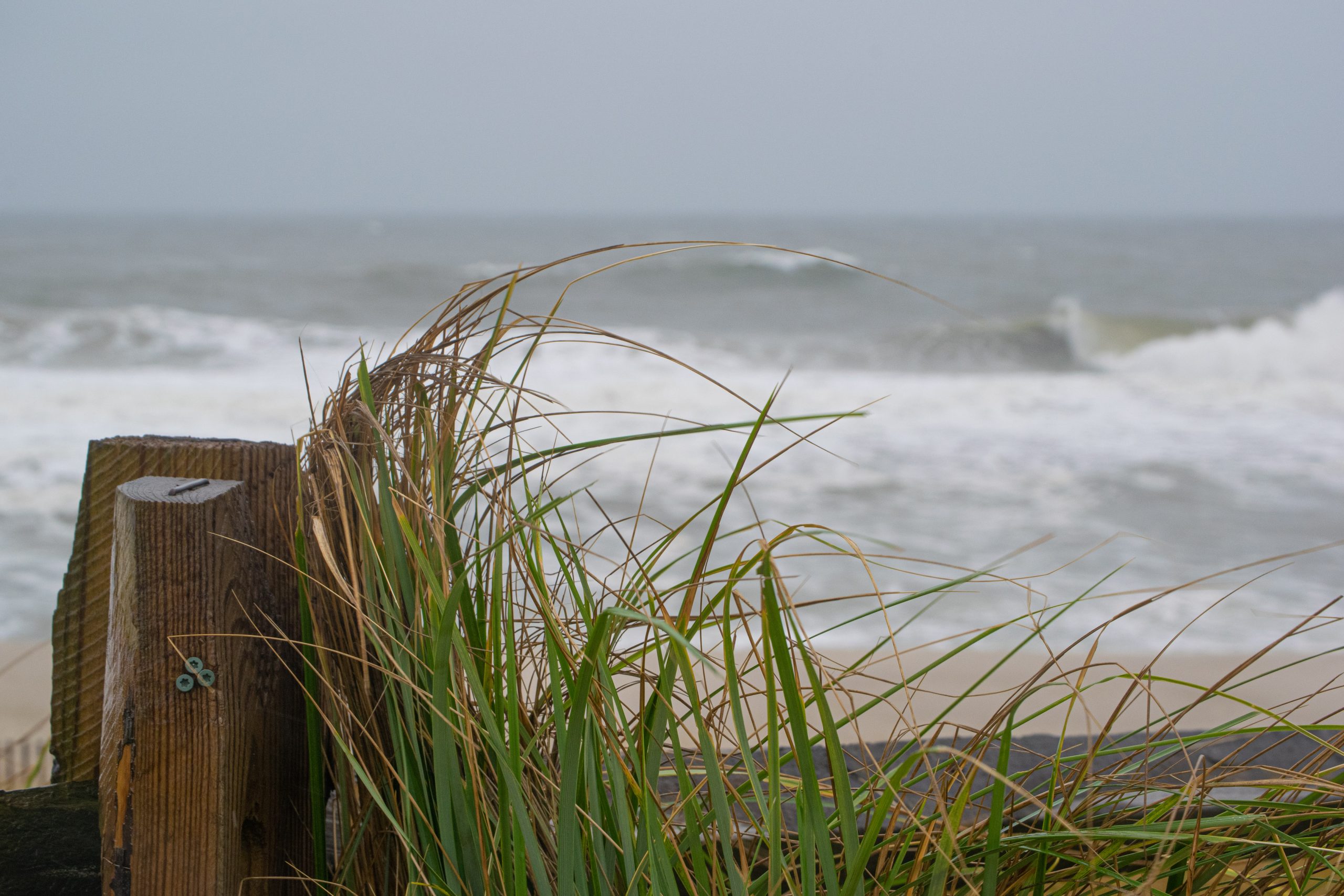
Heavy surf generated by the remnants of Hurricane Ian, Oct. 1, 2022. (Photo: Daniel Nee)
By Monday, winds will begin to decrease, the statement said. Therefore, a Gale Warning is currently set to expire at 6 a.m. Monday for the Delaware Bay zones and 6 p.m. Monday for the Atlantic Ocean zones. A Small Craft Advisory will “almost certainly be needed” following the end of the gales, given continued gusts greater than 25 knots and seas of 10 to 14 feet, the statement said.
Heavy surf generated by the remnants of Hurricane Ian, Oct. 1, 2022. (Photo: Daniel Nee)
Heavy surf generated by the remnants of Hurricane Ian, Oct. 1, 2022. (Photo: Daniel Nee)
Heavy surf generated by the remnants of Hurricane Ian, Oct. 1, 2022. (Photo: Daniel Nee)
Heavy surf generated by the remnants of Hurricane Ian, Oct. 1, 2022. (Photo: Daniel Nee)
Heavy surf generated by the remnants of Hurricane Ian, Oct. 1, 2022. (Photo: Daniel Nee)
“With continuing strong onshore flow, a medium/long period (8-10 seconds) east/northeast swell, and breaking waves around 5 to 8 feet, there will be a hugh risk for the development of dangerous rip currents along the Jersey Shore and Delaware Beaches,” the NWS forecast stated.
A wind advisory was also in effect. Northeast winds 20 to 30 m.p.h. with gusts up to 45 m.p.h. were expected Sunday into Monday. Rain will continue Sunday, tampering off to showers Monday and Tuesday.


Seaside Heights & Seaside Park
Seaside Heights School Board Seeking More Participation, Will Change Meeting Times

Police, Fire & Courts
Seaside Park Man, 68, Charged in Fatal Crash With Pedestrian

Ortley Beach & North Beaches
Lottery Ticket Worth $10K Sold at Ortley Beach Acme


Ortley Beach & North Beaches
Abandoned Private Island ‘Mansion’ in Barnegat Bay Poised for Demolition

