The National Weather Service announced a slew of advisories Friday night and early Saturday morning, as a storm system consisting of the remnants of Hurricane Ian moves toward the Shore area.
The oncoming storm was poised to drench the region with more than four inches of rain, kick up winds and produce heavy surf that is expected to lead to beach erosion.
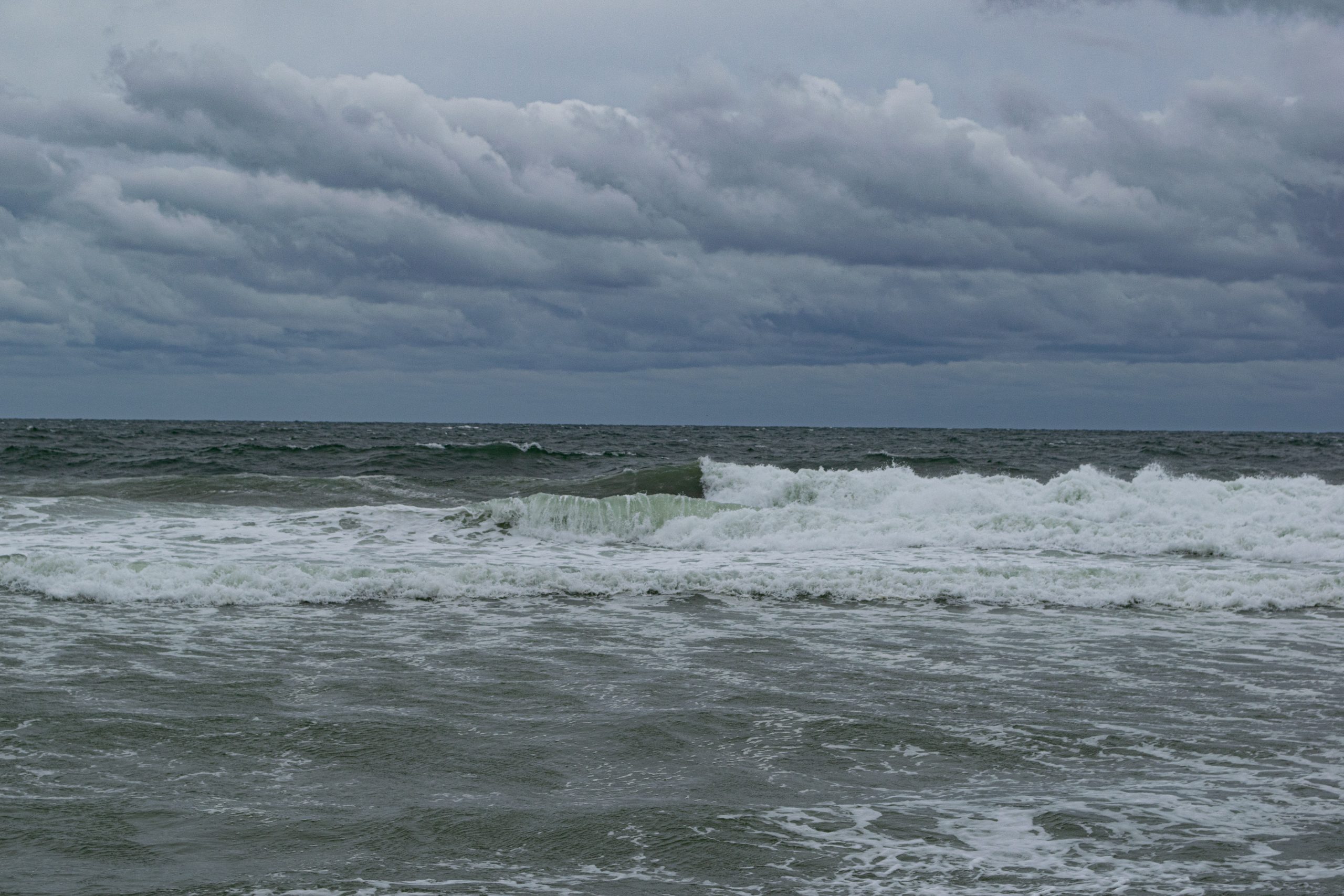
The remnants of Hurricane Ian begin to roll into the Jersey Shore, Sept. 30, 2022. (Photo: Daniel Nee)

The remnants of Hurricane Ian begin to roll into the Jersey Shore, Sept. 30, 2022. (Photo: Daniel Nee)
The remnants of Hurricane Ian begin to roll into the Jersey Shore, Sept. 30, 2022. (Photo: Daniel Nee)
The storm began moving into the Shore area Friday, with an initial batch of high winds and building surf. A video of conditions Friday appears above.
Rainfall
The oncoming storm is expected to produce a significant amount of rain.
New rainfall amounts between 1 and 2 inches are expected during the day Saturday, with a high of 66 degrees. Northeast winds will be sustained at nearly 30 m.p.h. Another inch of rain is possible Saturday night into Sunday, with a thunderstorm threat linger until about 2 a.m. Windy conditions will continue.
The rainfall will extent into Sunday, when an additional .75 inches of rain will fall during the day and .25 inches will fall at night. The storm will linger Monday and Tuesday, the NWS forecast said, though the heavy rainfall will be reduced to occasional showers and there will be little more in total rain amounts. Monday’s high will reach just 59 degrees, and 60 degrees on Tuesday, as the storm will also usher in cooler temperatures.
Surf, Flooding
The ocean temperature, as well as the temperature on Barnegat Bay, continue to be warm – just under 70 degrees each. Had the storm not advanced, beaches may have been crowded this weekend.
For the High Surf Advisory, the NWS issued a notice predicting “large breaking waves of up to 8 feet in the surf zone” on Saturday and Sunday. A Coastal Flood Watch was also in effect, calling for 1-2 feet of inundation above ground level possible in low-lying areas near shorelines and tidal waterways.
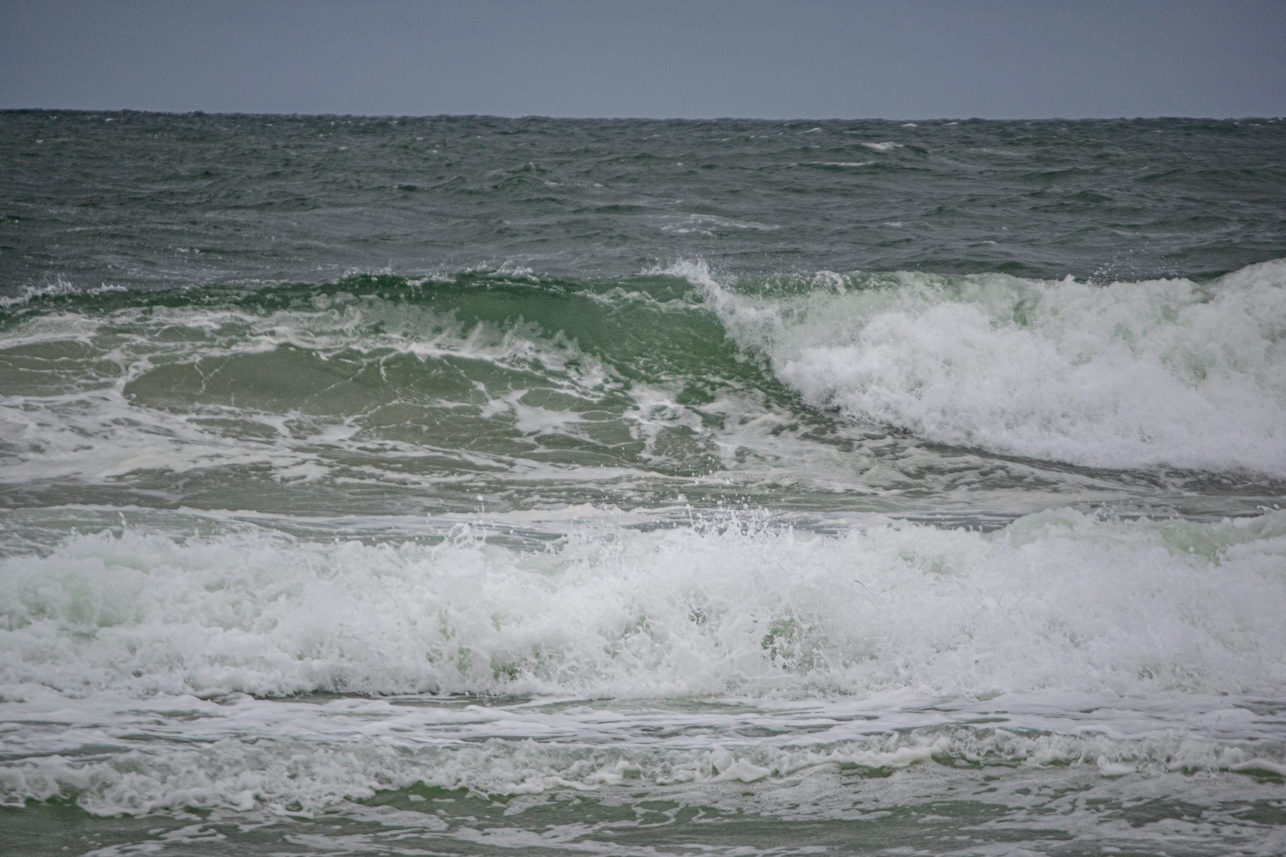
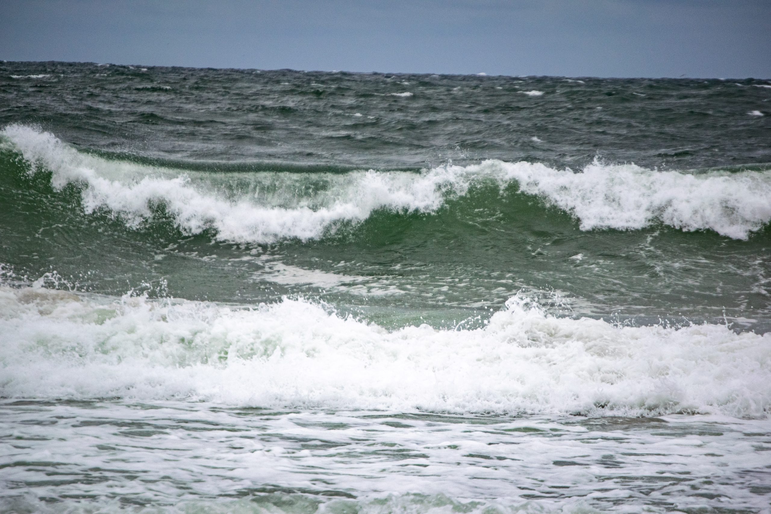
The remnants of Hurricane Ian begin to roll into the Jersey Shore, Sept. 30, 2022. (Photo: Daniel Nee)
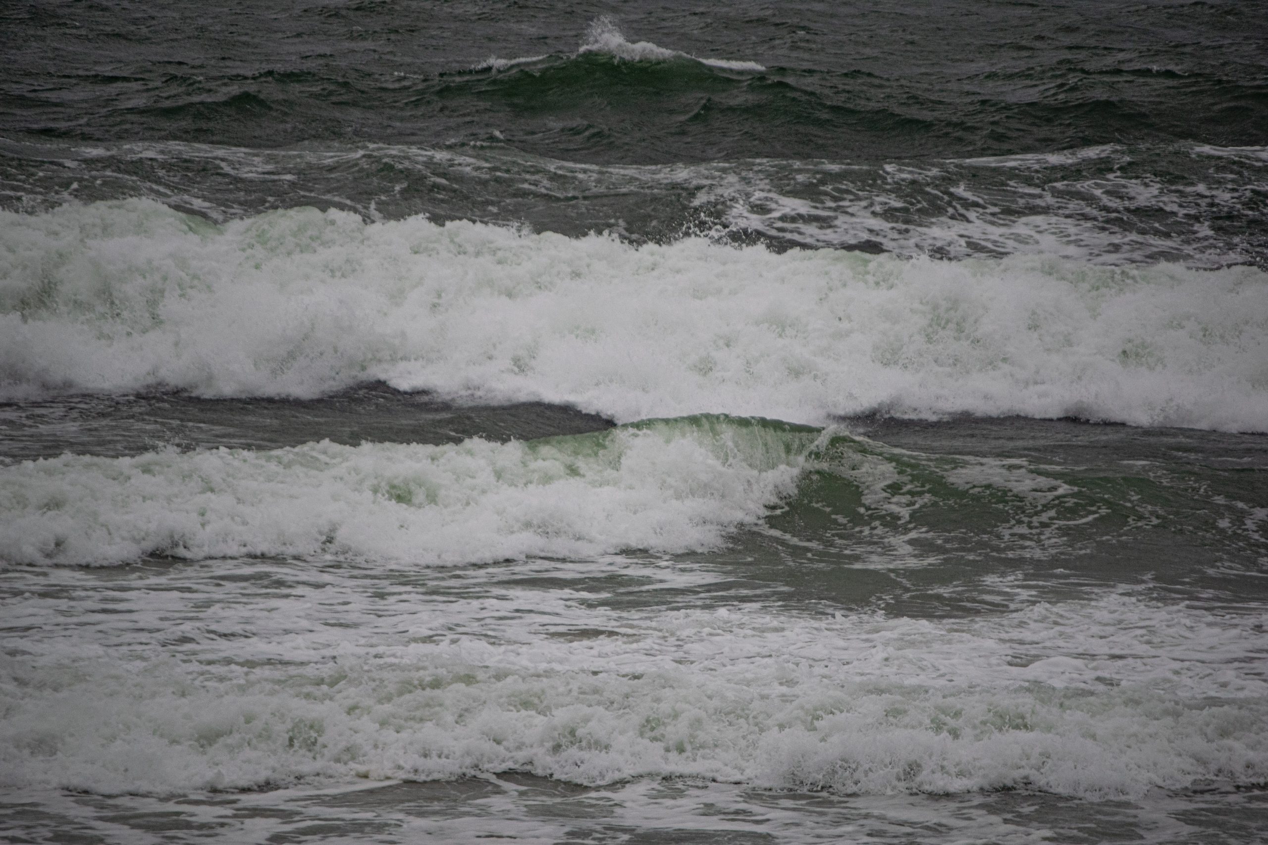
The remnants of Hurricane Ian begin to roll into the Jersey Shore, Sept. 30, 2022. (Photo: Daniel Nee)
“Moderate tidal flooding can lead to widespread roadway flooding in coastal and bayside communities and along inland tidal waterways,” the NWS statement said. “High surf will lead to dangerous swimming and surfing conditions and localized beach erosion. Rip currents can sweep even the best swimmers away from shore into deeper water.”
Seas offshore are expected to run 8-13 feet, according to the Marine Forecast for waters off Ocean County.
“This will translate to waves in the surf zone at least 7-8 feet, if not higher in some areas,” the NWS marine forecast said. “The High Risk of rip currents will be extended through Sunday, and a High Surf Advisory will also be issued during the same time period. The High Risk of rip currents and the High Surf Advisory will likely continue into Monday, and possibly Tuesday. Dangerous rip currents and surf conditions are expected, and some beach erosion will be possible.”


Seaside Heights & Seaside Park
Seaside Heights School Board Seeking More Participation, Will Change Meeting Times

Police, Fire & Courts
Seaside Park Man, 68, Charged in Fatal Crash With Pedestrian

Ortley Beach & North Beaches
Lottery Ticket Worth $10K Sold at Ortley Beach Acme


Ortley Beach & North Beaches
Abandoned Private Island ‘Mansion’ in Barnegat Bay Poised for Demolition

