Ahead of a coastal storm that is expected to bring mainly rain and a wintry mix to the Shore area toward the end of the weekend, this week’s frigid weather combined with slightly higher temperature Thursday produced a marine layer over the bay that saw the icy waterway in a state of flux as clouds thickened overhead.
We caught a few minutes of video at the bay around dusk tonight (with a couple special wildlife appearances) and shared it above in the embed.
As for the forecast, the National Weather Service is predicting cloudy skies to remain in place Friday, with minimal clearing overnight before clouds return Saturday. Snow may begin by 1 p.m. Sunday, however it is expected to mix with rain by 4 p.m. The high will be 40 degrees, suggesting no accumulating snow is expected.
The precipitation will become all rain by 7 p.m. Sunday, then end around 1 p.m. Monday, according to the NWS forecast.
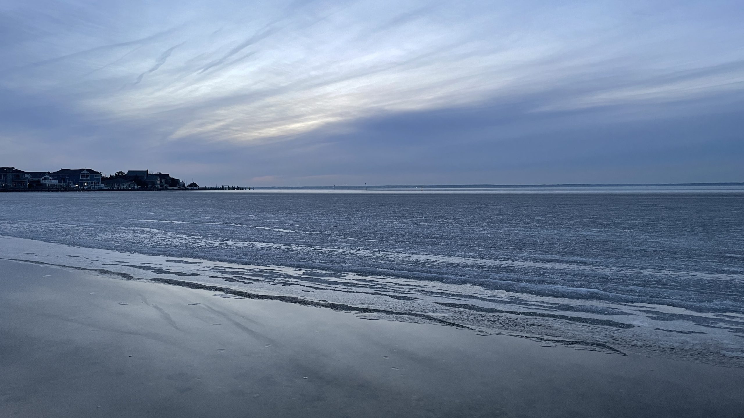
Fog and clouds over Barnegat Bay, Jan. 13, 2022. (Photo: Daniel Nee)
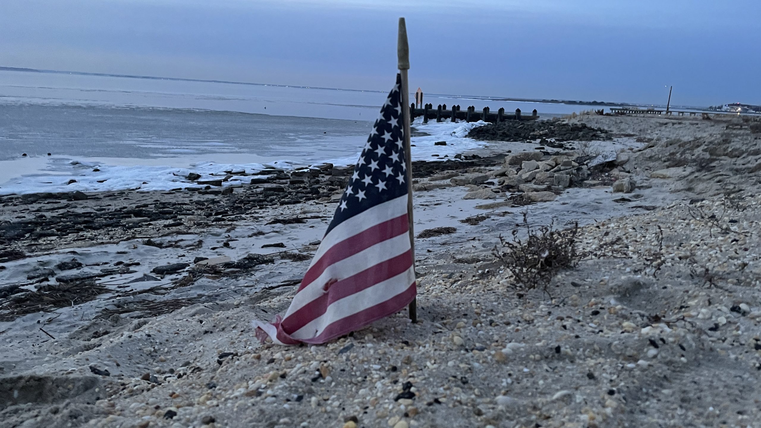
Fog and clouds over Barnegat Bay, Jan. 13, 2022. (Photo: Daniel Nee)
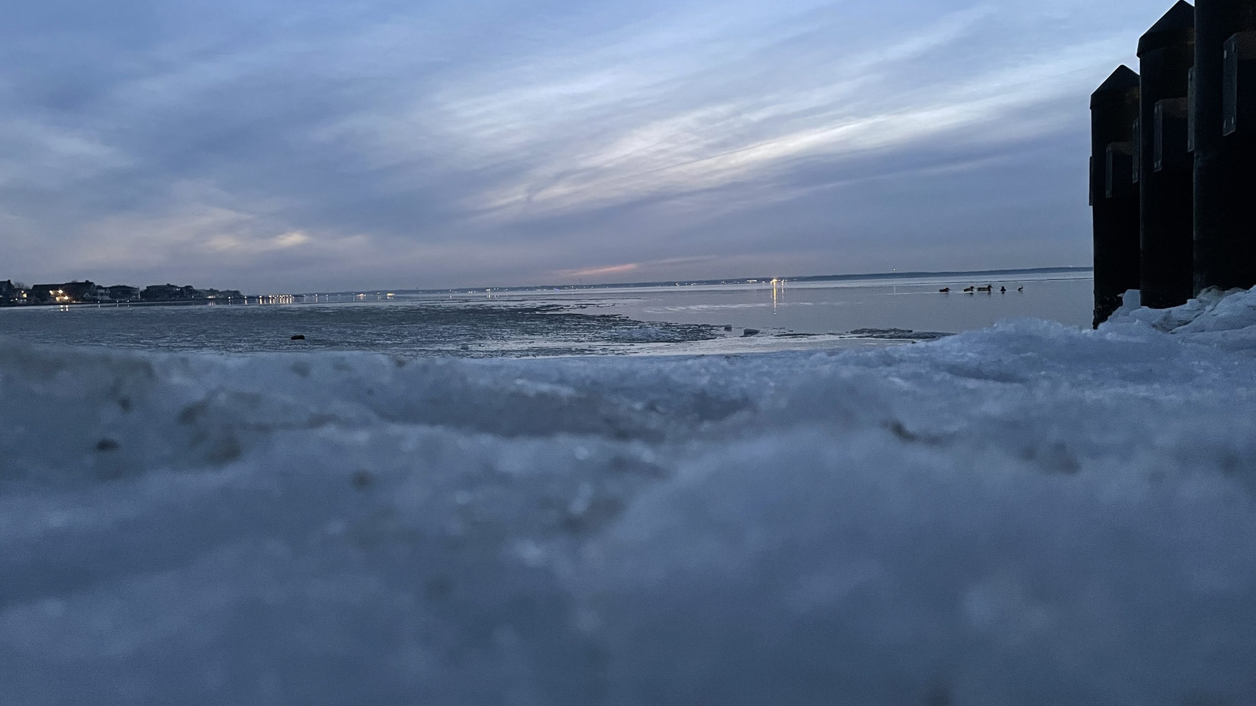
Fog and clouds over Barnegat Bay, Jan. 13, 2022. (Photo: Daniel Nee)
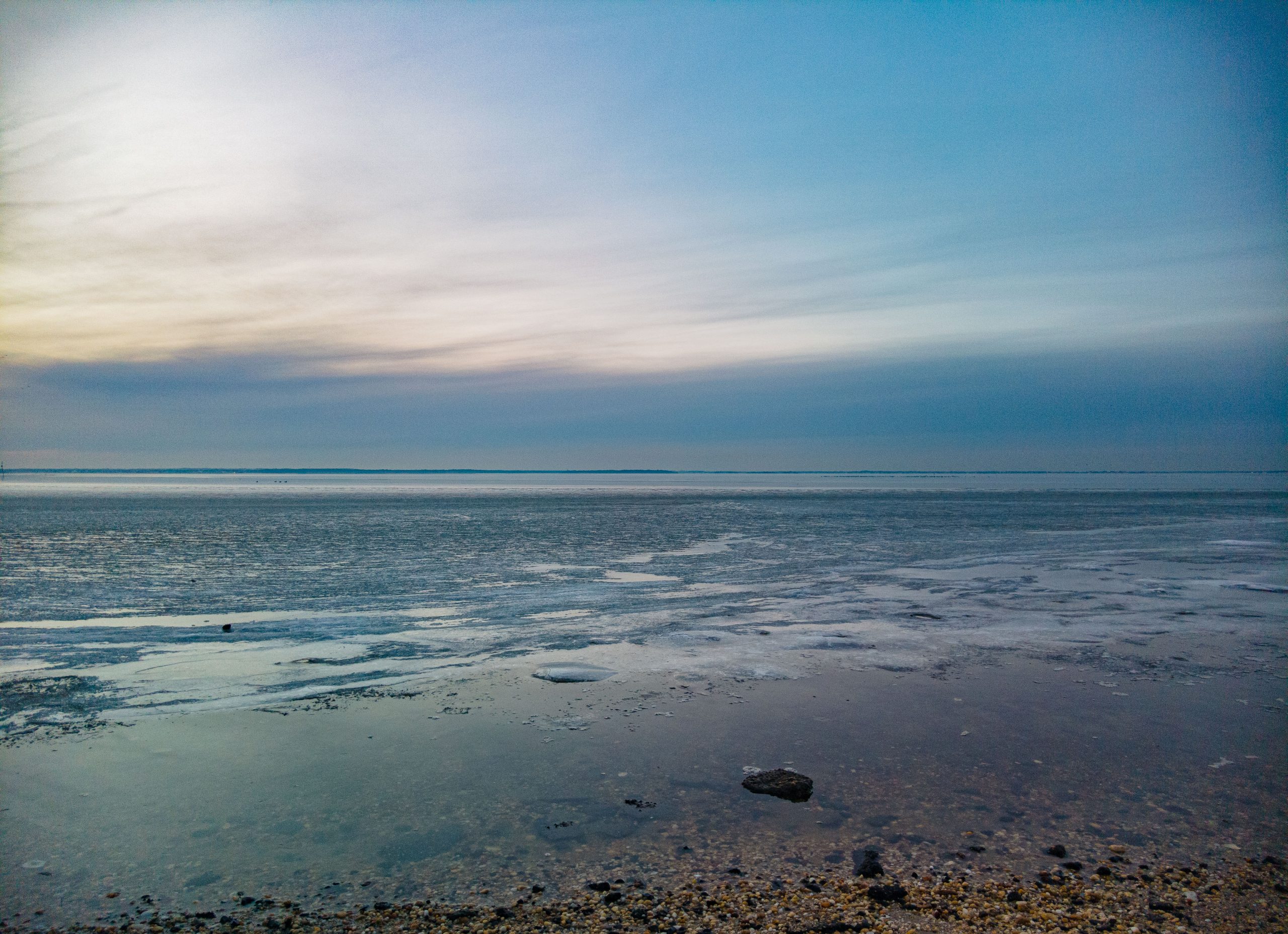
Fog and clouds over Barnegat Bay, Jan. 13, 2022. (Photo: Daniel Nee)

Fog and clouds over Barnegat Bay, Jan. 13, 2022. (Photo: Daniel Nee)


Seaside Heights & Seaside Park
Seaside Heights School Board Seeking More Participation, Will Change Meeting Times

Police, Fire & Courts
Seaside Park Man, 68, Charged in Fatal Crash With Pedestrian

Ortley Beach & North Beaches
Lottery Ticket Worth $10K Sold at Ortley Beach Acme


Ortley Beach & North Beaches
Abandoned Private Island ‘Mansion’ in Barnegat Bay Poised for Demolition

