Forecast precipitation Friday afternoon. (Credit: NWS)
A storm system could inundate the Shore area with rain and produce high winds by the end of the week, the National Weather Service warned.
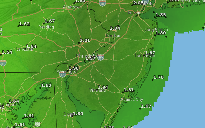
A flood watch was already posted for Ocean County from 7 p.m. Thursday to 7 p.m. Friday, when the brunt of the storm was forecast to strike. According to the NWS’s Mount Holly office, a strong low pressure system will impact the area Thursday night through Friday, resulting in a widespread rainfall of 1 to 3 inches with locally higher amounts.
“Given the recent heavy rain and how saturated he ground is, this amount of rain will result in flooding of roadways and areas of poor drainage, as well as the potential for significant river flooding,” the NWS watch statement said. “In addition, the combination of heavy rain and increased tide levels during the times of high tide will result in coastal flooding along the Atlantic, Delaware Bay, and tidal Delaware River.”
Rain is likely to begin Thursday after 1 p.m., turning heavier and steadier with a possible thunderstorm by 1 a.m. Friday. Showers will continue into Friday night.
Southeast winds could be sustained at as much as 26 m.p.h. Thursday night into Friday with higher gusts.
Partly sunny skies will return Saturday, though it will still be breezy, the forecast said.


Seaside Heights & Seaside Park
Seaside Heights School Board Seeking More Participation, Will Change Meeting Times

Police, Fire & Courts
Seaside Park Man, 68, Charged in Fatal Crash With Pedestrian

Ortley Beach & North Beaches
Lottery Ticket Worth $10K Sold at Ortley Beach Acme


Ortley Beach & North Beaches
Abandoned Private Island ‘Mansion’ in Barnegat Bay Poised for Demolition

