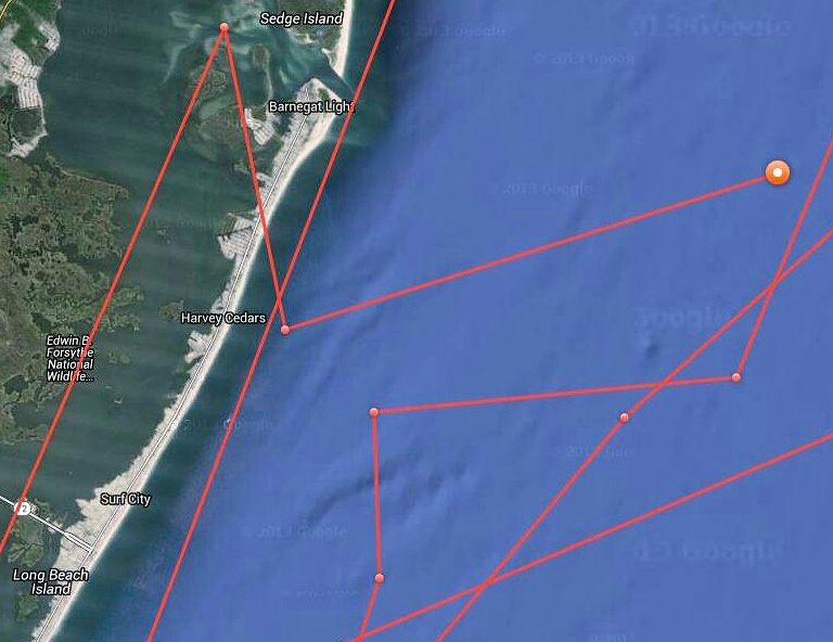
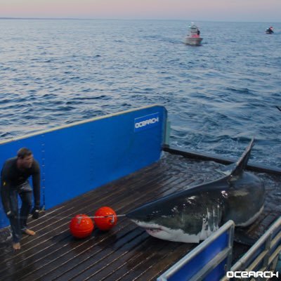
It’s safe to say that Barnegat Bay was not invaded by a great white shark Thursday. Maps showing her inside Barnegat Inlet and near the Route 72 causeway bridge to Long Beach Island seem to now be confirmed as the product of what can happen when man attaches a GPS tracker to an underwater beast.
The 16-foot, 3,456 pound shark is, indeed, off the Jersey Shore once again. Keyword: off. After maps Thursday morning positioned Mary Lee in the bay, OCEARCH, the organization responsible for the GPS tracker, said they were receiving a very weak “ping” from the shark’s transponder, and she was likely in the ocean.
By late Thursday afternoon, Mary Lee emitted a stronger signal, this time confirming her location about seven miles off Barnegat Inlet.
There is the off chance that Mary Lee made it into the bay – in the southern portion of Long Beach Island, bay sharking is a common activity for anglers at night during the summer – but the weak signal combined with mapping showing her in the shallowest of areas and, sometimes, traversing land, makes it unlikely.
OCEARCH said in a series of tweets on Thursday that they suspect she was moving northward up the coast in the ocean.
“As you can see from [Mary Lee’s] full track, she swims close to the shoreline,” OCEARCH posted.
With her northward tracking, Mary Lee will likely be off Ocean County’s northern barrier island over the next day or so. The shark became famous earlier this year as New Jerseyans began tracking it off the coast.

Advertisement

Ortley Beach & North Beaches
Landmark Ortley Beach Breakfast Spot Looks to Expand

Ortley Beach & North Beaches
‘Temporary’ 70-Foot Cell Tower on Route 35 in Ocean Beach OK’d to Return

Seaside Heights & Seaside Park
Beloved South Seaside Park Restaurant Will Remain Open As Developer Seeks to Demolish Block

Seaside Heights & Seaside Park
In Seaside Heights, A $50M Flagship Building Rises Over the Boulevard in a Famed Location

Police, Fire & Courts
Ocean County Sheriff Establishes Drone Command Center in Seaside Heights Amid New Video


