New Jersey began its annual controlled burn efforts in earnest this week in the Pine Barrens, focusing on a number of areas near Joint Base McGuire-Dix-Lakehurst and a number of smaller, vulnerable wooded areas in local communities.
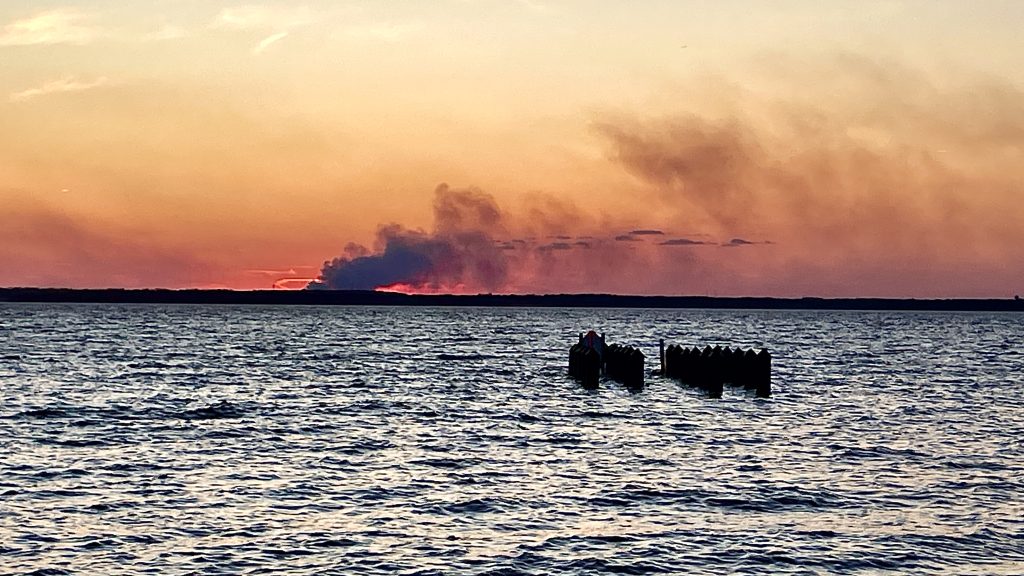
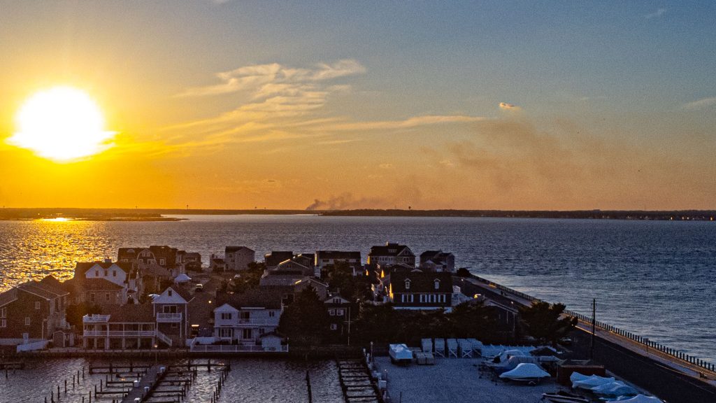
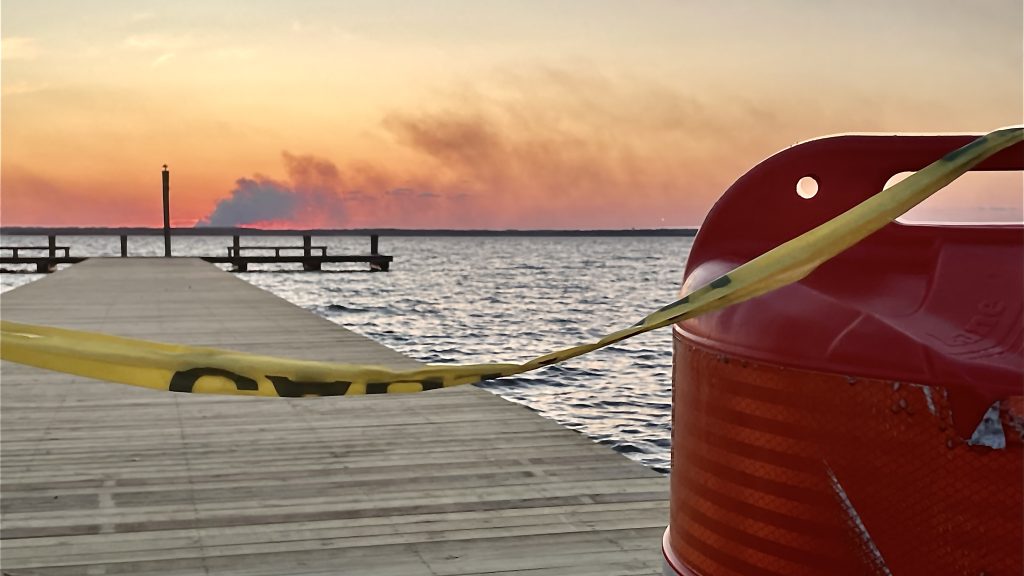
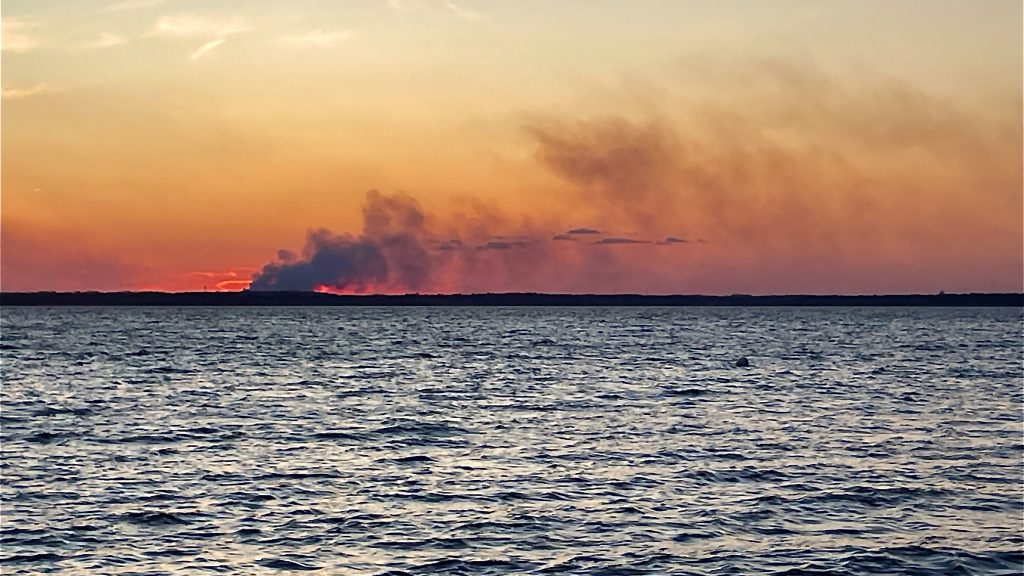
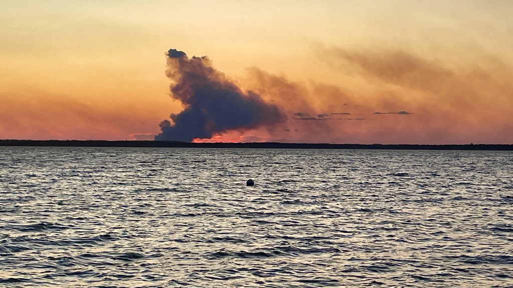
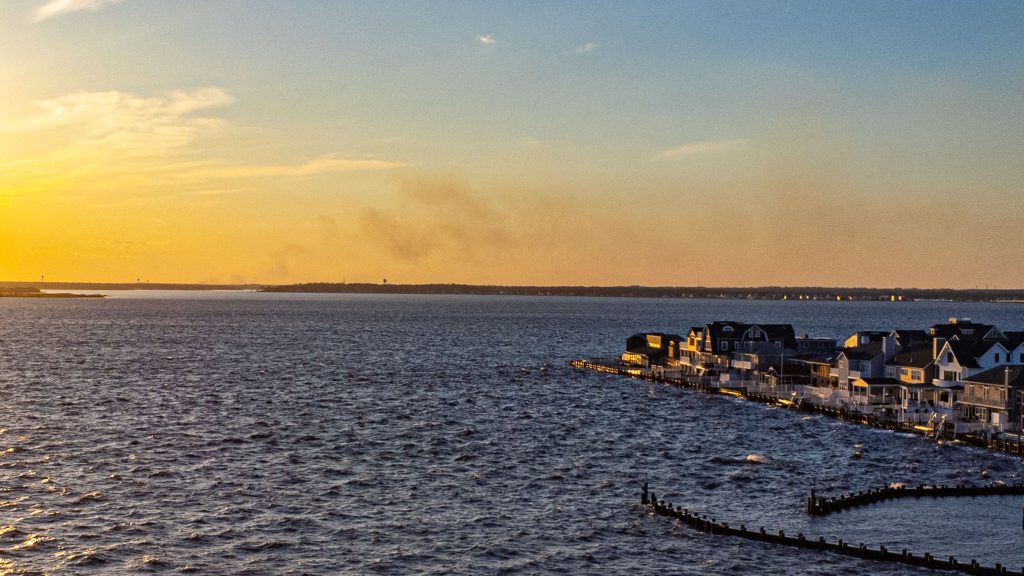
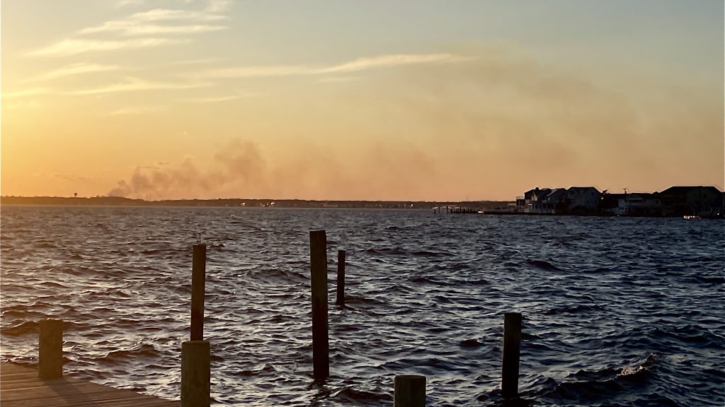
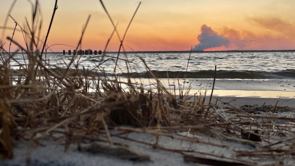
At times, there was some confusion as to whether smoke seen billowing over the horizon above Barnegat Bay on Saturday was a controlled burn or an actual fire, however the state’s Forest Fire Service confirmed controlled burns were carried out – and will continue to be carried out – over the weekend in numerous locations.
The largest controlled burn on Saturday was located near the intersection of Route 70 and County Road 539 in Manchester Township. There were also controlled burns either active or scheduled in Berkeley Township near the intersection of Double Trouble Road and Pinewald-Keswick Road, just west of the Garden State Parkway near interchange 80. Yet another active burn site on Saturday was located off Route 571, near the Pine Ridge golf course.
The state announced its controlled burn program this week, which is commonly rolled out in March and April of each year – the time of year when most forest fires are sparked by strong winds and increased activity in wooded areas. Most forest fires in recent years have been traced to lit cigarettes being thrown out of vehicle windows, officials have said.
Earlier this week, NJDEP Commissioner Shawn M. LaTourette and fire service members led a delegation of elected officials and media on a tour of the Roosevelt City fuel break near Joint Base McGuire-Dix-Lakehurst.
“The fuel break serves as an example of important work being done through a partnership between the Forest Fire Service and Department of Defense to protect communities near military installations in the wildfire-prone Pinelands,” the service said.
Controlled burn activity can be tracked via the state’s prescribed burn notification map.

Advertisement

Police, Fire & Courts
Police Investigating Possible Shots Fired in Seaside Heights

Police, Fire & Courts
Cops: Juvenile Arrested After 118mph Joy Ride in Seaside Heights, Toms River Kills 2

Seaside Heights & Seaside Park
Seaside Heights Mourns Passing of Boardwalk Legend, Still Working Into His 90s

