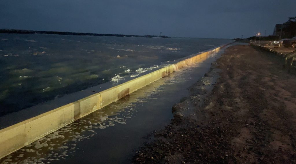
As winds picked up late Thursday while the Jersey Shore prepared for several days of foul weather, the National Weather Service issued several watches and advisories that will remain in effect at least through the start of the weekend.
Northeast winds combined with storms offshore propelled an extreme swift-moving current into Manasquan Inlet, which will eventually push its way into the back bays. Some roads were experiencing minor flooding in usual trouble spots.
The NWS has issued, as of Thursday night:
- Rip current advisory through Saturday at 8 p.m.
- Coastal flood advisory through Saturday at 12 a.m.
- Flood watch through Saturday at 6 a.m.
“Periods of heavy rain are likely beginning late [Thursday night], continuing through Friday night,” the NWS statement said. “Rainfall amounts of 2 to 4 inches are expected, with locally higher amounts of 6 inches or more possible.”
This flooding, the NWS said, will be prompted by “excessive rainfall.” Coastal flooding, driven by tides and wind, is also expected. Up to a foot of inundation is expected.
“At this level, flooding begins on the most vulnerable roads in coastal and bayside communities, and along inland tidal waterways,” the statement said. “Some partial or full road closures are possible … Water levels will remain elevated into the weekend, with minor or near minor tidal flooding possible with the high tides through at least Saturday.”
The risk of deadly rip currents remains “high” and heavy surf is expected to continue plaguing local beaches. Wave heights in the surf zone will run 4-6 feet.
High tide on the ocean (based in Seaside Heights) will occur at 7:44 a.m. and 8:05 p.m. Friday. High tide on the bayside (as calculated at the Mantoloking Bridge) will occur 12:15 a.m. and 12:42 p.m. Friday.

Advertisement

Ortley Beach & North Beaches
Landmark Ortley Beach Breakfast Spot Looks to Expand

Ortley Beach & North Beaches
‘Temporary’ 70-Foot Cell Tower on Route 35 in Ocean Beach OK’d to Return

Seaside Heights & Seaside Park
Beloved South Seaside Park Restaurant Will Remain Open As Developer Seeks to Demolish Block

Seaside Heights & Seaside Park
In Seaside Heights, A $50M Flagship Building Rises Over the Boulevard in a Famed Location

Police, Fire & Courts
Ocean County Sheriff Establishes Drone Command Center in Seaside Heights Amid New Video


