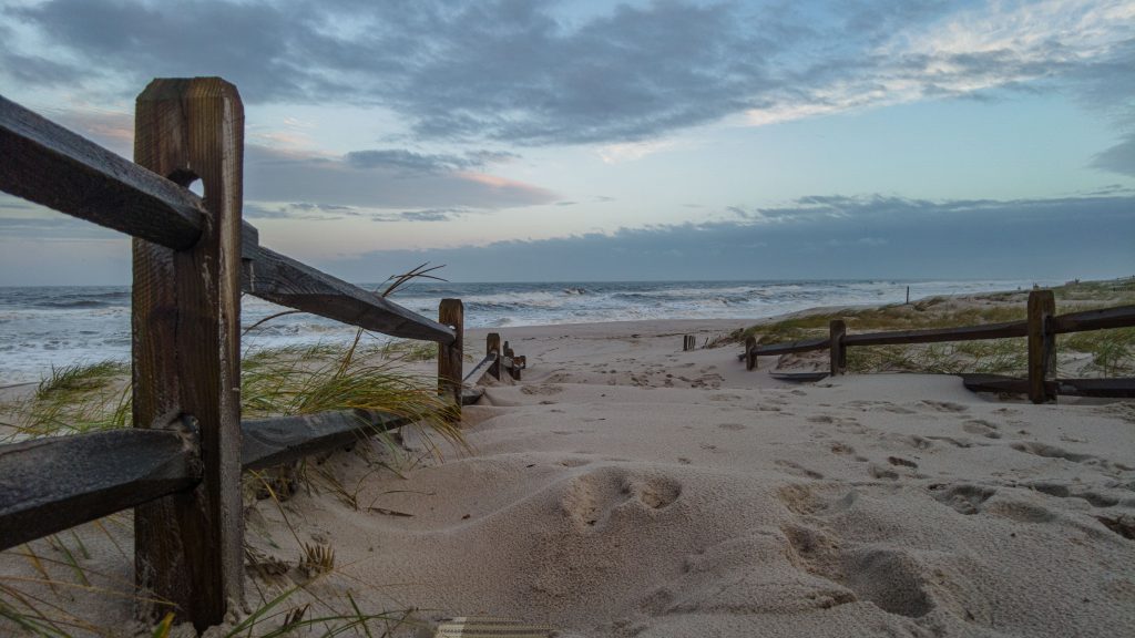
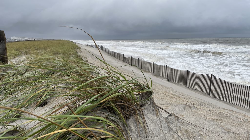
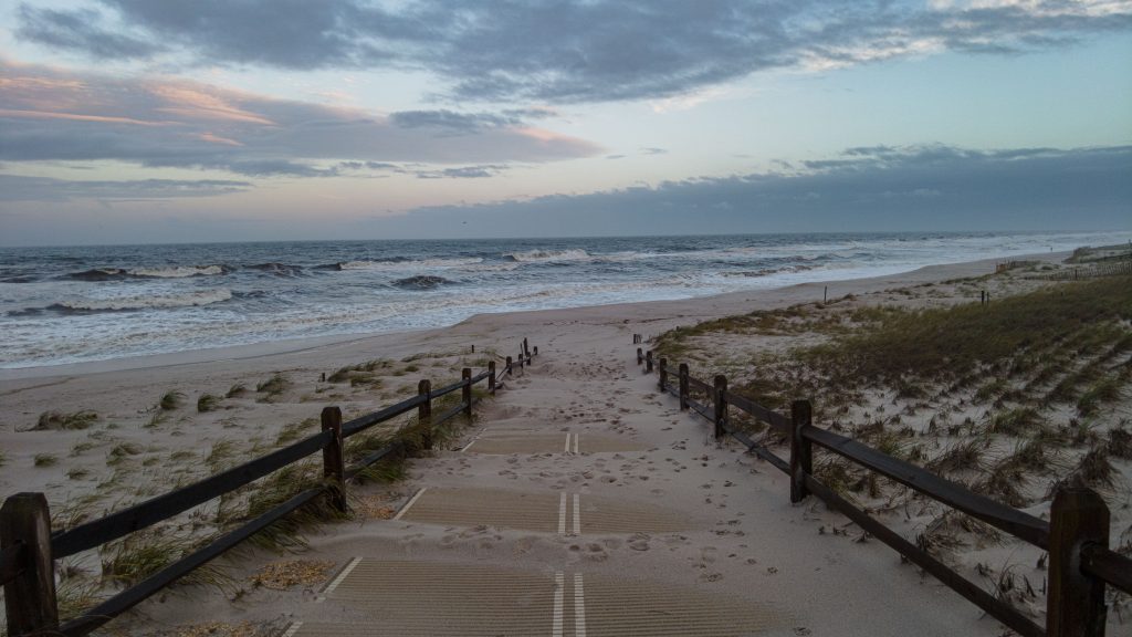
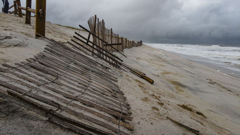
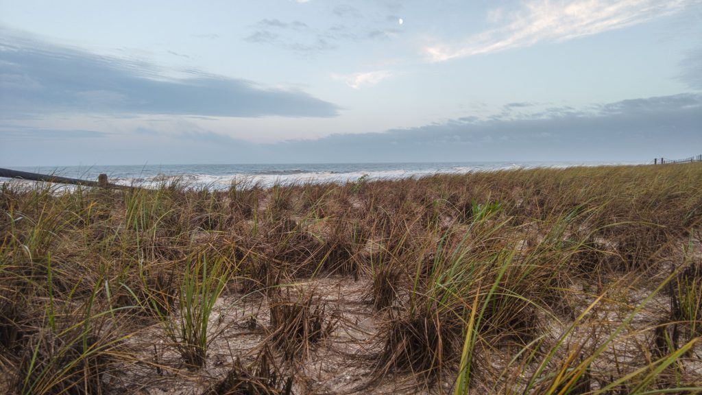
A few patches of blue sky emerged around 6 p.m. Sunday in the southerly direction on Ocean County’s northern barrier island, the first signs of fair weather in days after the remnants of Tropical Storm Ophelia washed out the weekend and eroded local beaches.
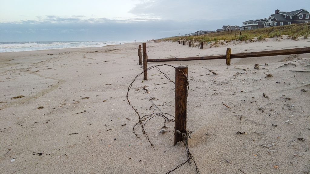
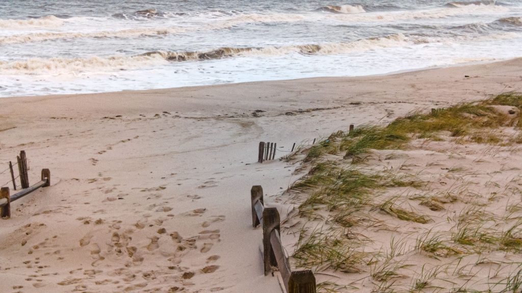
While beaches took a beating, and some areas saw signs of erosion, the damage was typical of an average fall nor’easter. Sand was blown west by high winds, filling dune crossovers and covering some snow fences and railings, but the “cliffs” that have become synonymous with major coastal weather events did not emerge in Ortley Beach, Normandy Beach or Bay Head – the area’s typical trouble spots.
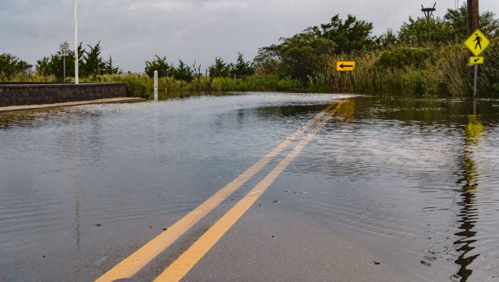
Bayside flooding varied from minor in most areas to moderate in a few others, and likely produced some damage to property in the most-affected neighborhoods, however major roads remained open. Photos of the storm’s presence Sunday night are embedded below, with video coverage above. (Note that some ad blocking software may interfere with the video player.)
Watches, warnings and advisories have all expired, except for a rip current advisory that predicts a “high” risk of rip currents that could be deadly through Tuesday night at 8 p.m., as of the time of publication.
According to the National Weather Service, periods of rain will continue Monday, though there may be intermittent clearing. It will be breezy, with a northeast wind 5 to 15 m.p.h. increasing to 15 to 25 m.p.h. in the afternoon. Winds could gust as high as 35 m.p.h.
Chances of rain and showers will continue into Tuesday night; the NWS forecasts partly sunny skies to re-emerge Wednesday.

Advertisement

Ortley Beach & North Beaches
Landmark Ortley Beach Breakfast Spot Looks to Expand

Ortley Beach & North Beaches
‘Temporary’ 70-Foot Cell Tower on Route 35 in Ocean Beach OK’d to Return

Seaside Heights & Seaside Park
Beloved South Seaside Park Restaurant Will Remain Open As Developer Seeks to Demolish Block

Seaside Heights & Seaside Park
In Seaside Heights, A $50M Flagship Building Rises Over the Boulevard in a Famed Location

Police, Fire & Courts
Ocean County Sheriff Establishes Drone Command Center in Seaside Heights Amid New Video

