
Flooding on Ocean County’s northern barrier island, Oct. 28, 2021. (Photo: Daniel Nee)
Tropical systems may still be more than a thousand miles away from New Jersey, but forecasters are warning they could make their presence known from afar this week, coinciding with a full moon Wednesday.
The National Weather Service has issued a high rip current risk statement as well as a coastal flood advisory.
High tide on Barnegat Bay occurs 10:31 a.m. and 10:55 p.m. Tuesday, and 11:25 a.m. and 11:47 p.m. Wednesday. High tide on the ocean occurs at 6:21 a.m. and 6:45 p.m. Tuesday, and 7:15 a.m. and 7:37 p.m. Wednesday.
Rip Current Statement
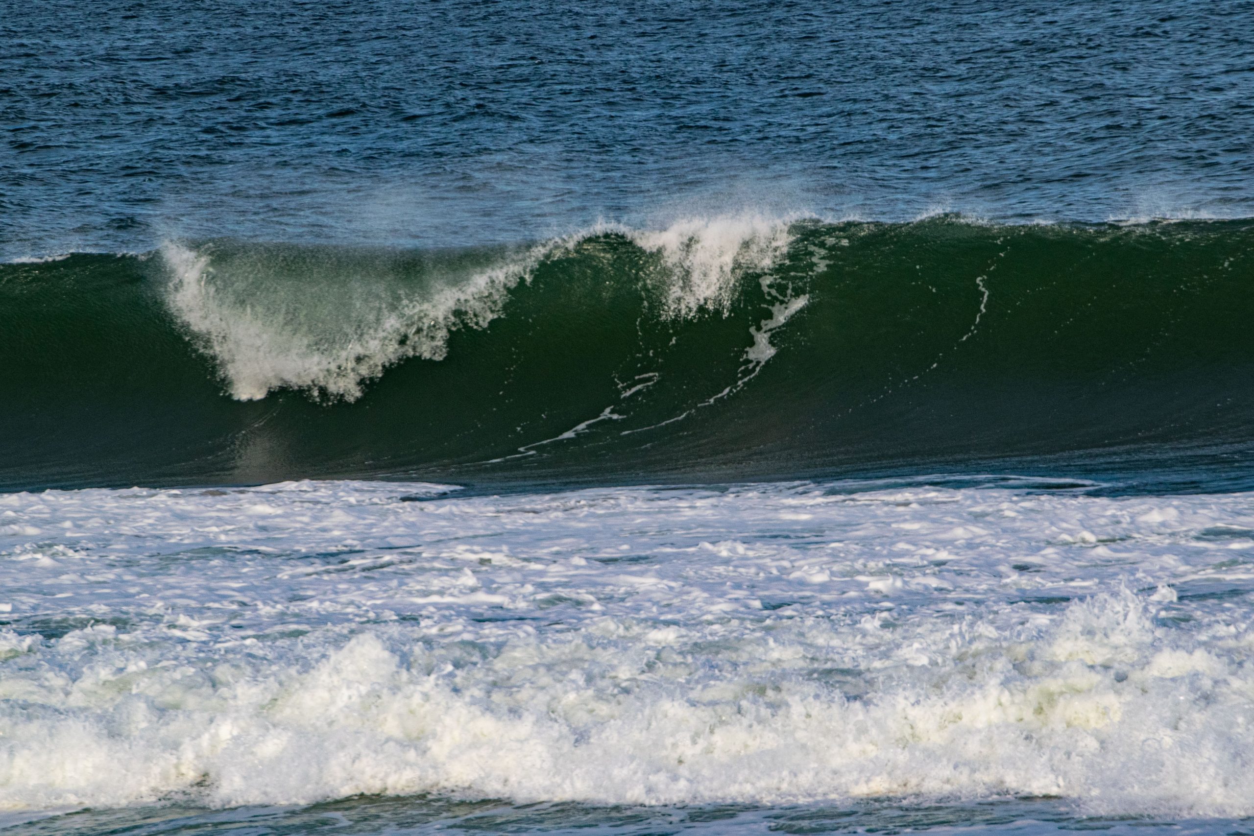
Heavy surf leads to dangerous rip currents, Sept. 10, 2022. (Photo: Daniel Nee)
The NWS’s rip current statement will be in effect from 6 a.m. Aug. 29 (Tuesday) through 12 midnight Aug. 31.
“Strong swells from distant Hurricane Franklin will result in an elevated rip current risk through late this week,” the advisory said. “Rip currents can sweep even the best swimmers away from shore into deeper water. Swim near a lifeguard. If caught in a rip current, relax and float. Don`t swim against the current. If able, swim in a direction following the shoreline. If unable to escape, face the shore and call or wave for help.”
Scattered showers and thunderstorms, under otherwise cloudy skies, are forecast for Tuesday and Wednesday with highs in the mid-to-high 70s.
Coastal Flood Advisory
The NWS’s rip current statement will be in effect from 6 p.m. Aug. 29 (Tuesday) through 12 midnight Aug. 30. This advisory more closely follows the moon phase, which will be full Aug. 30 (a “blue moon” as well, the agency noted).
“For the Coastal Flood Advisory, up to one half foot of inundation above ground level is expected in low-lying areas near shorelines and tidal waterways,” the statement said. “At this level, flooding begins on the most vulnerable roads in coastal and bayside communities, and along inland tidal waterways. Some partial or full road closures are possible.”
“If travel is required, allow extra time as some roads may be closed,” the statement continued. “Do not drive around barricades or through water of unknown depth. Take the necessary actions to protect flood-prone property.”


Ortley Beach & North Beaches
Landmark Ortley Beach Breakfast Spot Looks to Expand

Ortley Beach & North Beaches
‘Temporary’ 70-Foot Cell Tower on Route 35 in Ocean Beach OK’d to Return

Seaside Heights & Seaside Park
Beloved South Seaside Park Restaurant Will Remain Open As Developer Seeks to Demolish Block


Seaside Heights & Seaside Park
In Seaside Heights, A $50M Flagship Building Rises Over the Boulevard in a Famed Location

Police, Fire & Courts
Ocean County Sheriff Establishes Drone Command Center in Seaside Heights Amid New Video


