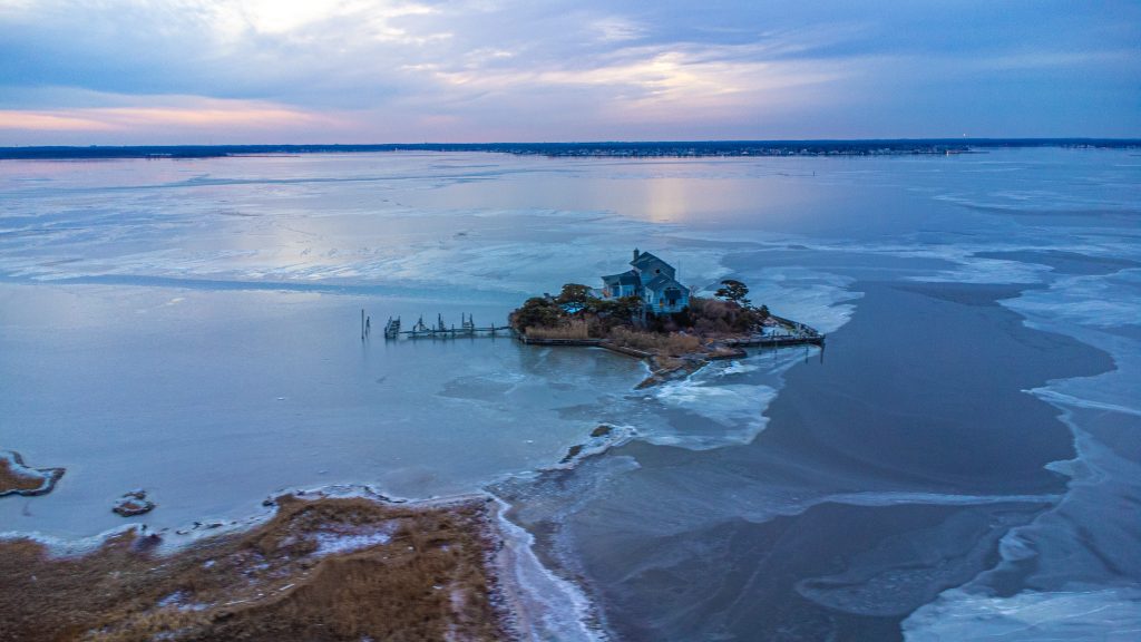
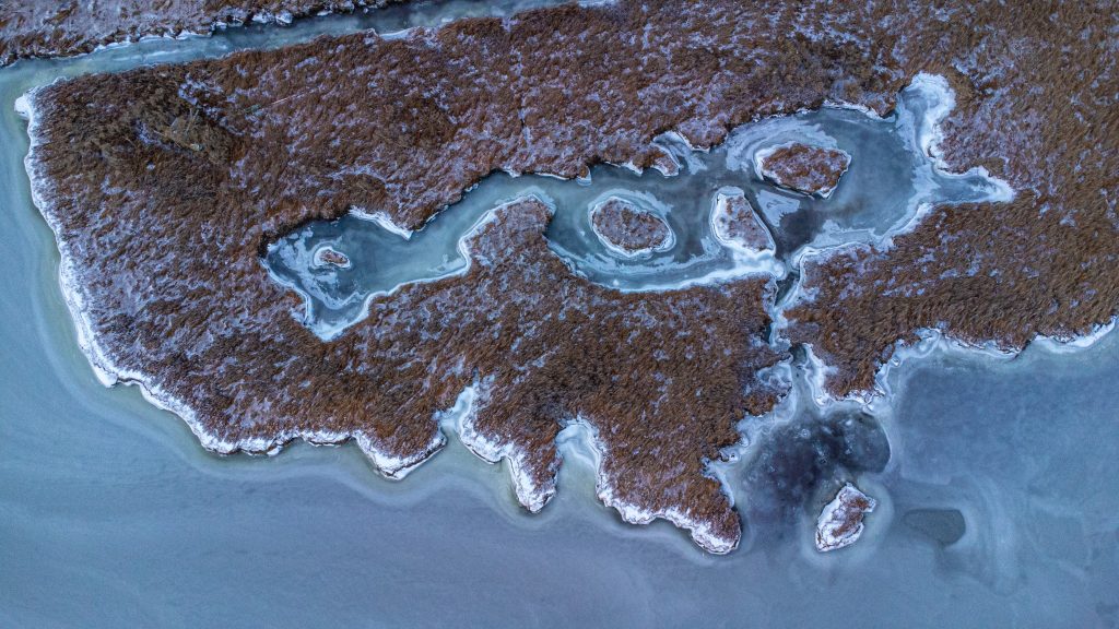
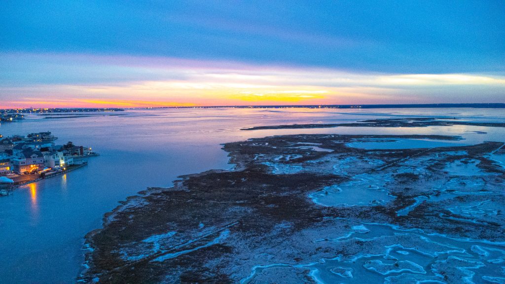
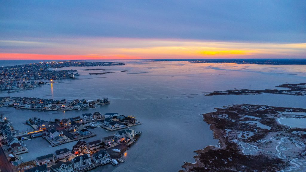
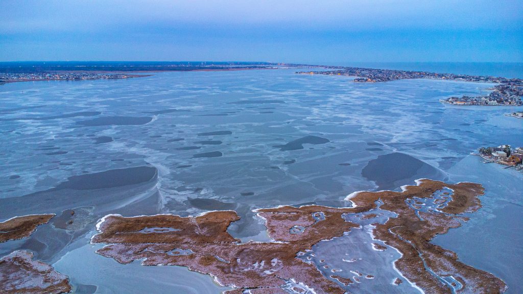
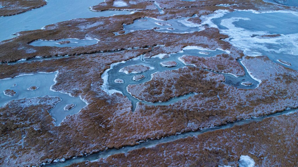
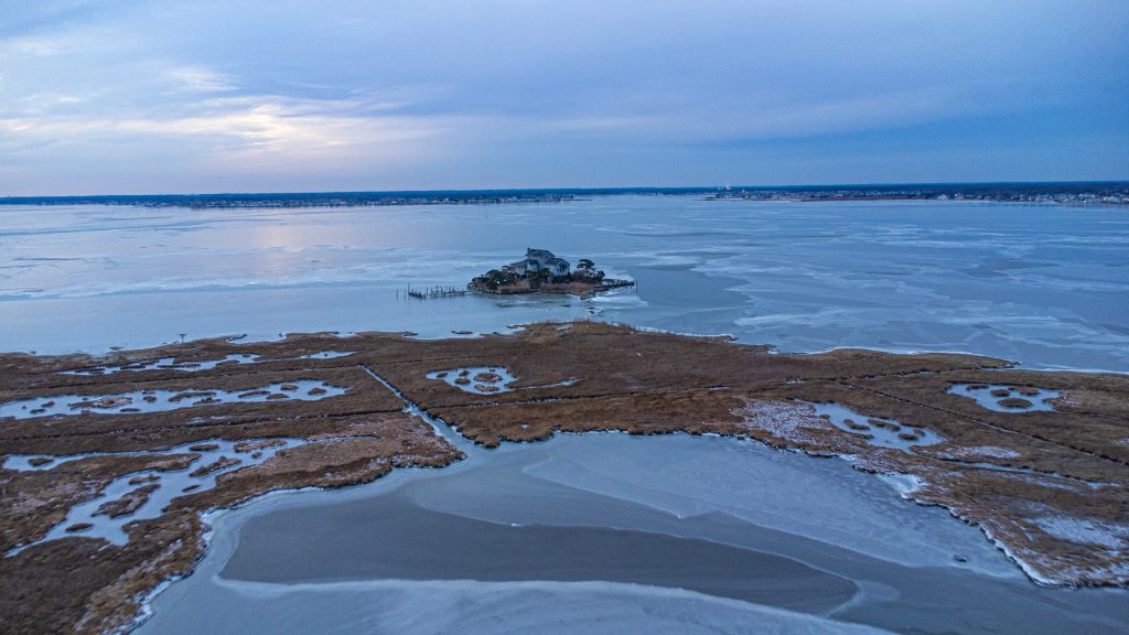
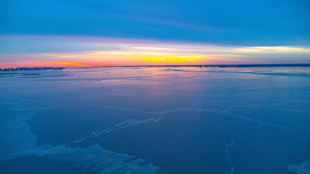
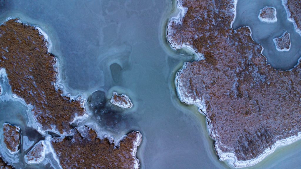
Barnegat Bay, including portions close to the main navigational channel, have seen a layer of ice form over the Christmas holiday weekend due to a mammoth cold front that rolled in alongside a coastal storm late last week.
After strong winds sent sheets of water spraying into bulkheads and marsh sedge banks, the deep-freeze in place for several days was enough to place most of the bay under a coating of ice. While visibly too weak to support the weight of a human, the days-long process to even form any significant layer of ice on top of the salt waterway is not often seen in December.
According to the National Weather Service, temperatures will break the freezing mark for the first time since last week on Tuesday. The agency is forecasting a high of 37 degrees with a light west wind under sunny skies – surely bringing along melting of ice on water surfaces as well as some of the limited roadways which saw ice accumulate, largely driven by the wind.
The mercury will dip below the freezing mark overnight into Wednesday, but then recovery during the day to a high of 44 degrees. Like Tuesday, Wednesday is forecast to be sunny with a light southwest wind.
Thursday and Friday, likewise, are expected to be sunny with highs of 46 and 51 degrees, respectively.
While somewhat unusual, the freezing of the bay before the new year isn’t unheard-of, and this year’s edition will likely end as soon as the sun’s rays hit the water surface with temperatures above freezing.

Advertisement

Ortley Beach & North Beaches
Landmark Ortley Beach Breakfast Spot Looks to Expand

Ortley Beach & North Beaches
‘Temporary’ 70-Foot Cell Tower on Route 35 in Ocean Beach OK’d to Return

Seaside Heights & Seaside Park
Beloved South Seaside Park Restaurant Will Remain Open As Developer Seeks to Demolish Block

Seaside Heights & Seaside Park
In Seaside Heights, A $50M Flagship Building Rises Over the Boulevard in a Famed Location

Police, Fire & Courts
Ocean County Sheriff Establishes Drone Command Center in Seaside Heights Amid New Video

