While it will be nowhere near a repeat of last weekend’s blizzard, the Shore area is in store for another round of foul weather this Thursday and Friday.
The storm will primarily be a rain event, beginning in the early morning hours Thursday, but mainly after 7 a.m. With a high of 48 degrees, all precipitation Thursday is expected to come in the form of rain. Steadier rainfall will occur Thursday night into Friday, however the overnight low is expected to be 41 degrees, well above freezing, which would prevent snow from falling.
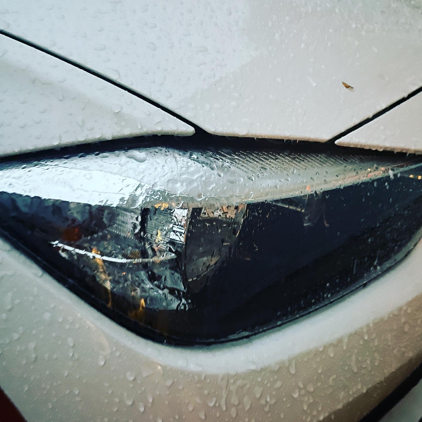
Ice from freezing rain forms on a car’s headlight. (Photo: Daniel Nee)
One of nature’s most dangerous events – freezing rain – could begin to affect the area after 4 p.m. Friday, with a mix of freezing rain and sleet rolling in by 7 p.m. Additional rounds of sleet are forecast between 7 p.m. and 10 p.m. before the storm moves out.
The storm system will bring frigid air temperatures into the region, with the overnight low Friday dipping down to just 17 degrees, potentially exacerbating the freezing rain issues possible earlier. The sun will return Saturday, but temperatures will struggle to break through the 20s. The freezing mark will be surpassed Sunday, though, with a high of 38 degrees, with partly sunny skies.

Sunset on Barnegat Bay, Feb. 1, 2022. (Photo: Daniel Nee)

Seaside Heights & Seaside Park
Seaside Heights Mourns Passing of Boardwalk Legend, Still Working Into His 90s


Seaside Heights & Seaside Park
Construction Projects to Begin in Seaside Park During March


Police, Fire & Courts
Cops: Juvenile Arrested After 118mph Joy Ride in Seaside Heights, Toms River Kills 2

Police, Fire & Courts
Ocean County Sheriff Establishes Drone Command Center in Seaside Heights Amid New Video


