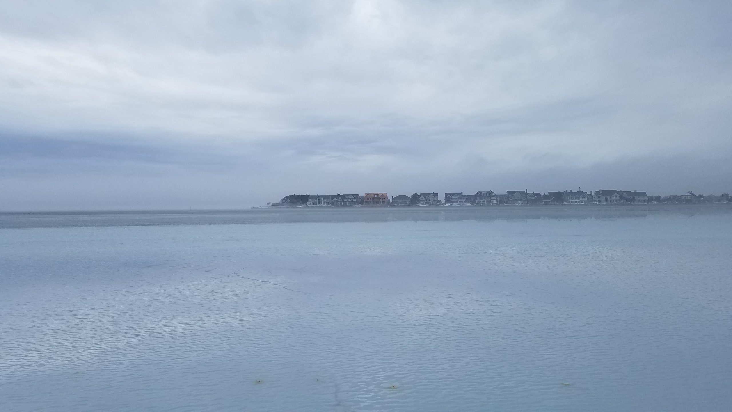
A layer of fog rolled in Thursday by late afternoon, with a still-frozen Barnegat Bay interacting with warmer temperatures, occasional showers and high humidity. But a drastic change is on the way after the rain moves out.
Initially thought to be another winter storm threat, forecasters at the National Weather Service say the Shore area will receive only rain Friday. Periods of rain will move through the region until about 5 p.m., and high temperatures will run in the low to mid-50s close to the coast. It will be breezy, with winds sustained between 10-20 m.p.h. and some higher gusts close to the water.

A layer of fog over Barnegat Bay, Thursday, Feb. 3, 2022. (Photo: Patricia Nee)
A layer of fog over Barnegat Bay, Thursday, Feb. 3, 2022. (Photo: Patricia Nee)
A chance of rain will linger through about 7 p.m. Friday, at which point the precipitation moves out and frigid temperatures rush in. The mercury will tumble from the 50s into the 20s Friday night, with the overnight low forecast to reach 25-degrees. This could cause what forecasters call a “flash freeze,” with rainwater and melting snow refreezing to cause dangerous conditions on roads and other surfaces.
Saturday will remain mostly cloudy, then gradually becoming sunny, but with a high near 31. The sub-freezing temperatures will be combined with a blustery, with a northwest wind around 20 m.p.h. Saturday night’s low will plunge to just 17 degrees, but it will be clear. Sunday will see a return to fully sunny skies, with the high just breaking the freezing mark at 34 degrees.
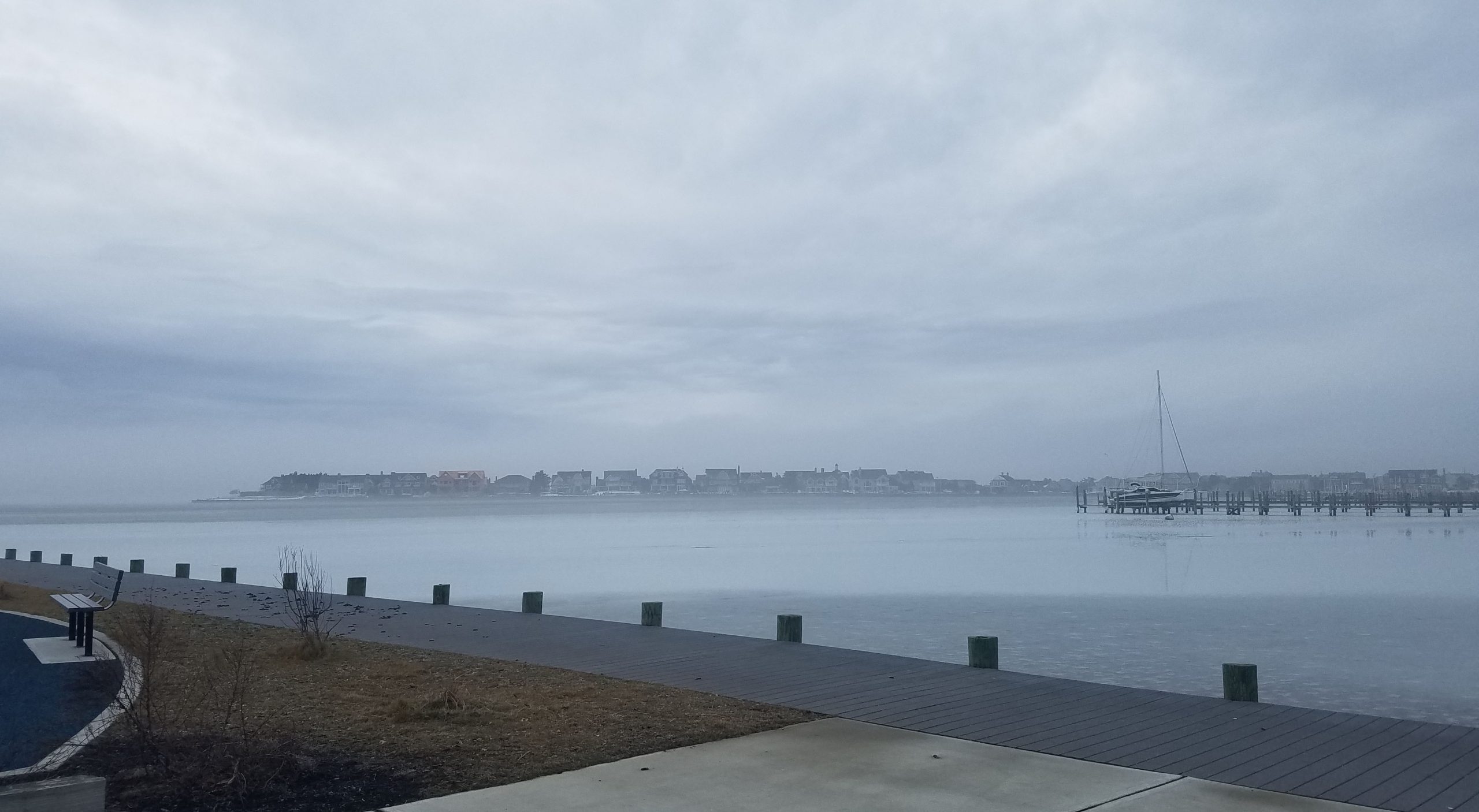
A layer of fog over Barnegat Bay, Thursday, Feb. 3, 2022. (Photo: Patricia Nee)
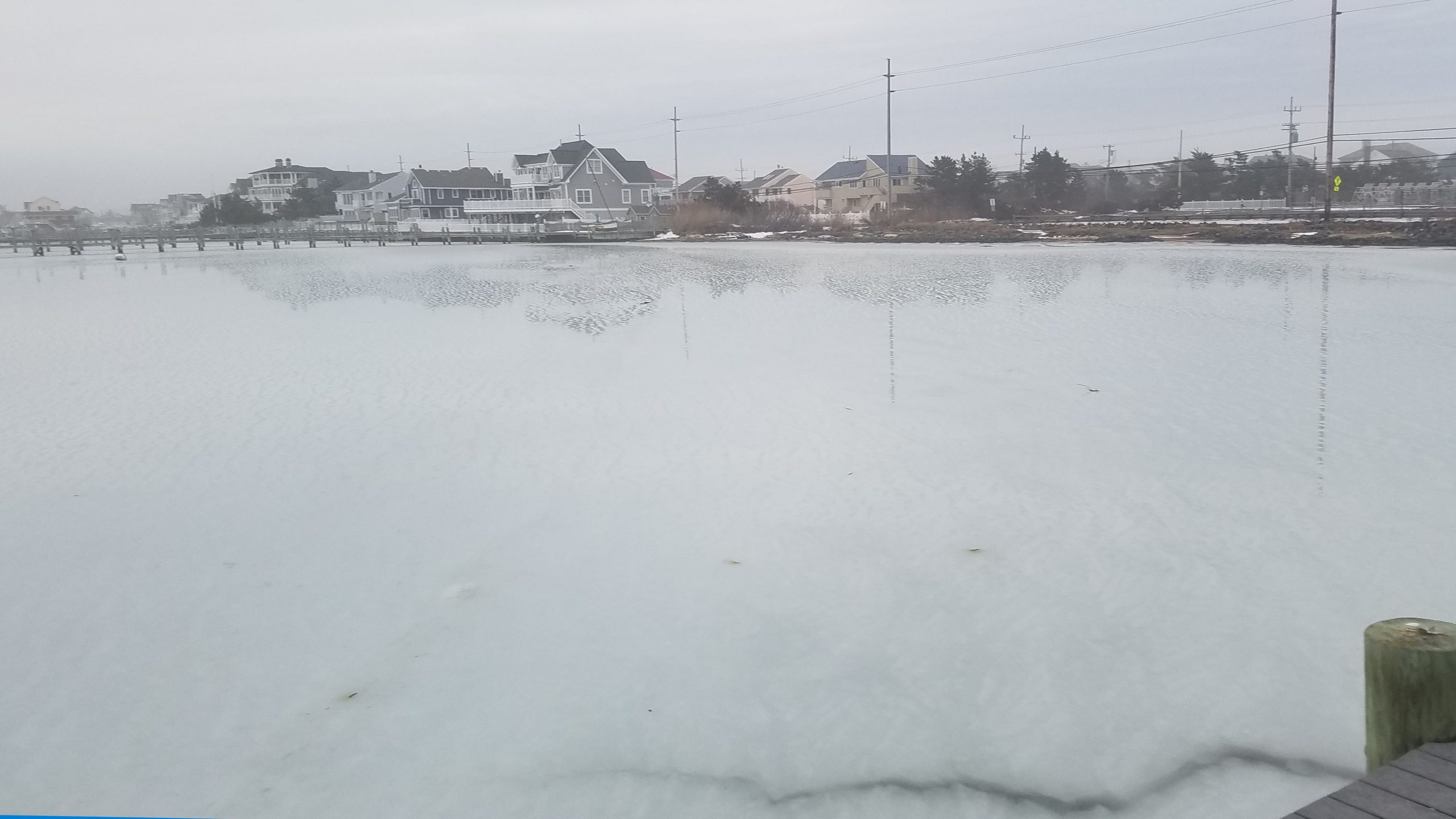
A layer of fog over Barnegat Bay, Thursday, Feb. 3, 2022. (Photo: Patricia Nee)


Ortley Beach & North Beaches
Landmark Ortley Beach Breakfast Spot Looks to Expand

Ortley Beach & North Beaches
‘Temporary’ 70-Foot Cell Tower on Route 35 in Ocean Beach OK’d to Return

Seaside Heights & Seaside Park
Beloved South Seaside Park Restaurant Will Remain Open As Developer Seeks to Demolish Block


Seaside Heights & Seaside Park
In Seaside Heights, A $50M Flagship Building Rises Over the Boulevard in a Famed Location

Police, Fire & Courts
Ocean County Sheriff Establishes Drone Command Center in Seaside Heights Amid New Video


