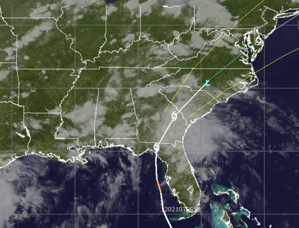
Tropical Storm Elsa (Credit: CIMSS/ Tropical)
The National Weather Service issued a tropical storm watch for the entire New Jersey coast Wednesday, including Ocean County, as Tropical Storm Elsa moves overland from its Florida landfall site to the mid-Atlantic.
Elsa is expected to impact eastern New Jersey late Thursday into Friday morning, the National Weather Service office in Mount Holly said in a special tropical weather statement. Elsa is forecast to move across southern Delaware and eastern New Jersey late Thursday night into Friday morning, then continue to accelerate and move northeast, away from New Jersey, late Friday morning.
“The main threats with this system are heavy rainfall resulting in flash flooding as well as some river flooding, as well as tropical storm force winds, especially near the coast,” the statement said. “In addition, dangerous marine conditions will occur, along with the potential for dangerous rip currents.”
Between two and four inches of rainfall are forecast Thursday afternoon into Friday morning, the NWS forecast predicted. Heavy rainfall will result in a threat of localized flash flooding. Dangerous marine conditions are also expected to develop. Tropical Storm force winds will be most likely in coastal areas, with seas building to 6 to 9 feet over the water. Dangerous rip currents will likely occur along the ocean beaches of Delaware and New Jersey.
The good news: the NWS is predicting “little to no impact” from storm surges and tornadic activity.
After beginning with a period of sunshine, clouds are expected to build during the day Thursday with precipitation moving into the region after 3 p.m., the official forecast said. Showers and possibly a thunderstorm will roll through after 8 p.m. with winds increasing; some of the storms could produce heavy rainfall.
Tropical storm conditions are most likely Friday morning into the early afternoon, giving way to more scattered showers and thunderstorms late in the day. The storm system is expected to rapidly move out Friday morning, and sun will return Friday afternoon.
Peak winds during the storm are forecast to be sustained at 25 to 35 m.p.h. with gusts to 45 m.p.h.

Advertisement

Police, Fire & Courts
Seaside Heights Man, 36, Charged With Failing to Register Under Megan’s Law

Police, Fire & Courts
Cops: Juvenile Arrested After 118mph Joy Ride in Seaside Heights, Toms River Kills 2

Police, Fire & Courts
Cops: Juvenile Arrested After 118mph Joy Ride in Seaside Heights, Toms River Kills 2

Police, Fire & Courts
Ocean County Sheriff Establishes Drone Command Center in Seaside Heights Amid New Video


