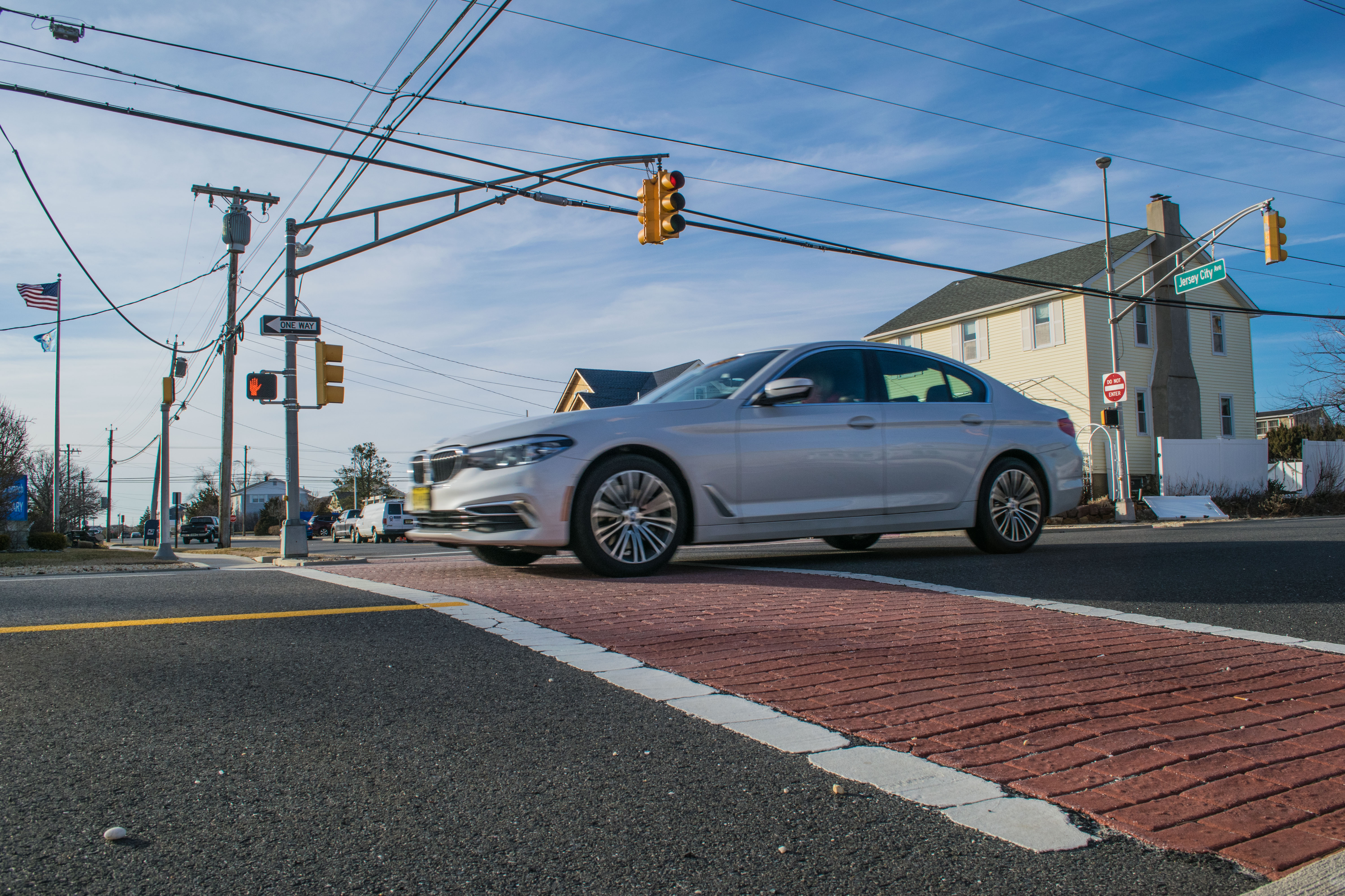
Route 35 South in Lavallette. (Photo: Daniel Nee)
Lavallette’s borough council on Tuesday night made a formal request to the state Department of Transportation for seven crosswalks to be marked along Route 35’s southbound lanes.
The final decision on the locations of the crosswalks – and if they will be marked at all – rests with the state, however the borough’s police chief made a number of recommendations. Officials said the town made the decision to approach the DOT about new crosswalks after they were requested by residents.
Councilwoman Joanne Filippone said the suggested streets include Bryn Mawr, New York and New Brunswick avenues, as well as several others. New Brunswick Avenue has always been a focus of safety efforts because there is extra pedestrian traffic consisting of beachgoers making the trek back to West Point Island.
Lavallette, like most Shore communities, has experienced something of a love-hate relationship with the state’s “stop for pedestrian” law. While crosswalks provide a safe opportunity for residents to cross busy roads, municipalities have struggled with walkers darting out into the road without looking and drivers slamming on their brakes – sometimes even at green lights. A number of communities have lobbied the state to modify or repeal the law, arguing that it actually places an extra level of danger on pedestrians. Those efforts have never gained support in Trenton.
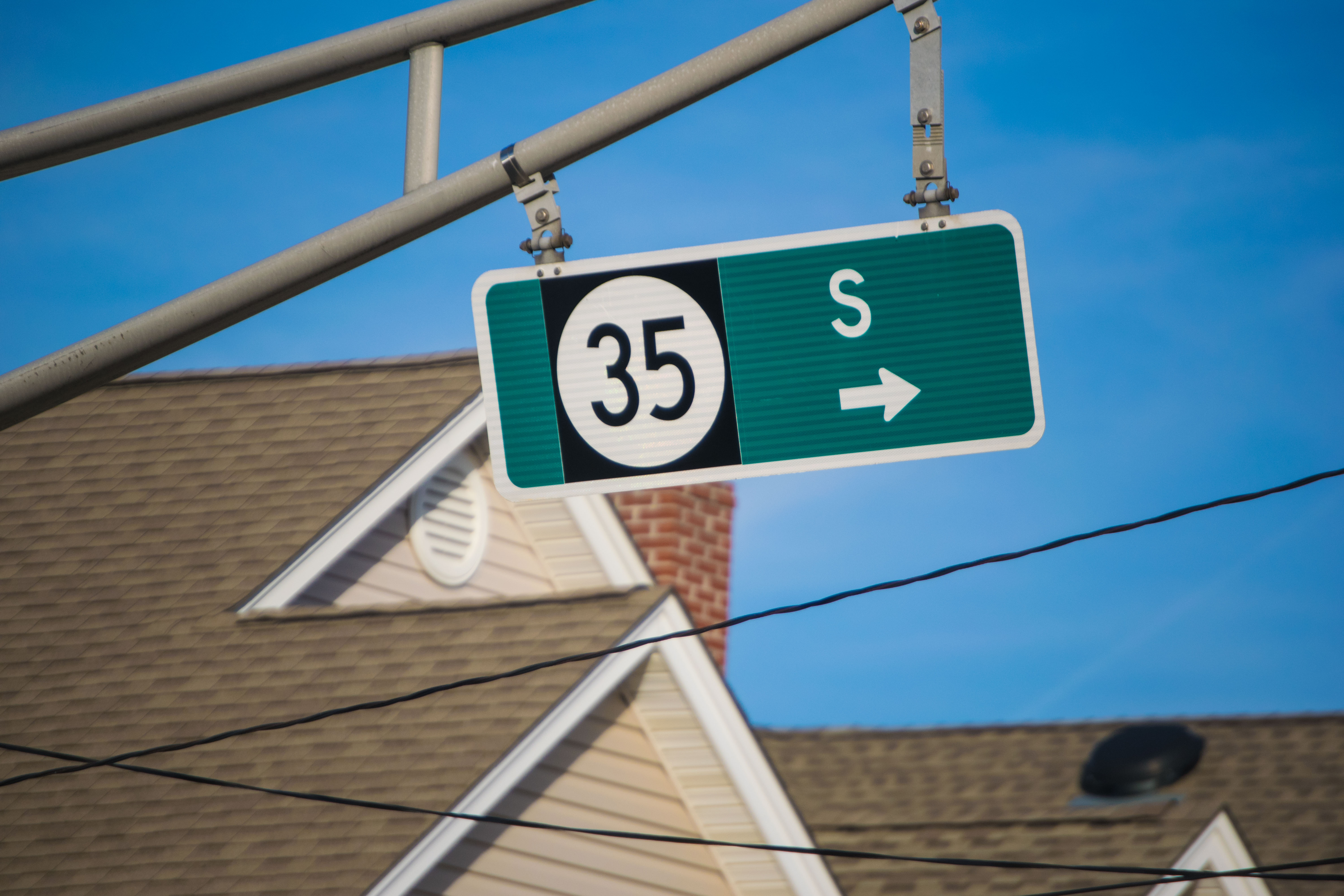
Route 35 South. (Photo: Daniel Nee)
Despite those concerns, Lavallette officials felt that public support for more crosswalks and the busy nature of Route 35 south merited the request.
“The way the law is written, you are really supposed to stop at any corner, with or without a painted crosswalk,” said Filippone


Ortley Beach & North Beaches
Landmark Ortley Beach Breakfast Spot Looks to Expand

Ortley Beach & North Beaches
‘Temporary’ 70-Foot Cell Tower on Route 35 in Ocean Beach OK’d to Return

Seaside Heights & Seaside Park
Beloved South Seaside Park Restaurant Will Remain Open As Developer Seeks to Demolish Block


Seaside Heights & Seaside Park
In Seaside Heights, A $50M Flagship Building Rises Over the Boulevard in a Famed Location

Police, Fire & Courts
Ocean County Sheriff Establishes Drone Command Center in Seaside Heights Amid New Video


