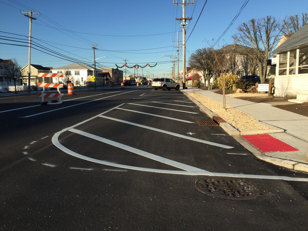
A ‘no parking’ zone where spaces were once marked in downtown Lavallette. (Photo: Daniel Nee)
A casualty of the Route 35 reconstruction project, Lavallette officials are continuing their quest to restore 50 parking lost to a morass of red tape, regulations and white paint.
Striping of additional parking spaces along Grand Central Avenue, also known as Route 35 north, has been stopped, Mayor Walter LaCicero said this week.
“We were promised one parking plan in March of 2015, and that plan was not what was being implemented,” the mayor said.
The borough is now short 50 spaces along the highway compared to the layout before the project took place, Borough Administrator Christopher Parlow said recently. According to borough officials, some spaces were removed because they were deemed too close to crosswalks or wheelchair-accessible sidewalk ramps. Technically, a 25 foot buffer is required, but in some areas there was only a one-foot – or less – deficit. The buffer zone is measured from either a crosswalk or the “perceived crosswalk.”
As referenced in the photo that runs along with this story, wide swaths of roadway where parking spaces were once marked are now blocked off with angled lines signaling that parking is not allowed.
LaCicero said this week that borough officials have met with their counterparts at the state Department of Transportation to express their concerns, and the striping was shut down shortly after. The borough, he said, has submitted three alternative parking plans to the state.
“We can’t afford to lose any parking in the downtown area,” said LaCicero.
Striping will continue once a determination is made, he said, remaining hopeful that the loss of spaces can ultimately be minimized.


Ortley Beach & North Beaches
Landmark Ortley Beach Breakfast Spot Looks to Expand

Ortley Beach & North Beaches
‘Temporary’ 70-Foot Cell Tower on Route 35 in Ocean Beach OK’d to Return

Seaside Heights & Seaside Park
Beloved South Seaside Park Restaurant Will Remain Open As Developer Seeks to Demolish Block


Seaside Heights & Seaside Park
In Seaside Heights, A $50M Flagship Building Rises Over the Boulevard in a Famed Location

Police, Fire & Courts
Ocean County Sheriff Establishes Drone Command Center in Seaside Heights Amid New Video


